Waitakere Ranges: Hillary Trail
| Hillary Trail Map | |
| File Size: | 1270 kb |
| File Type: | |
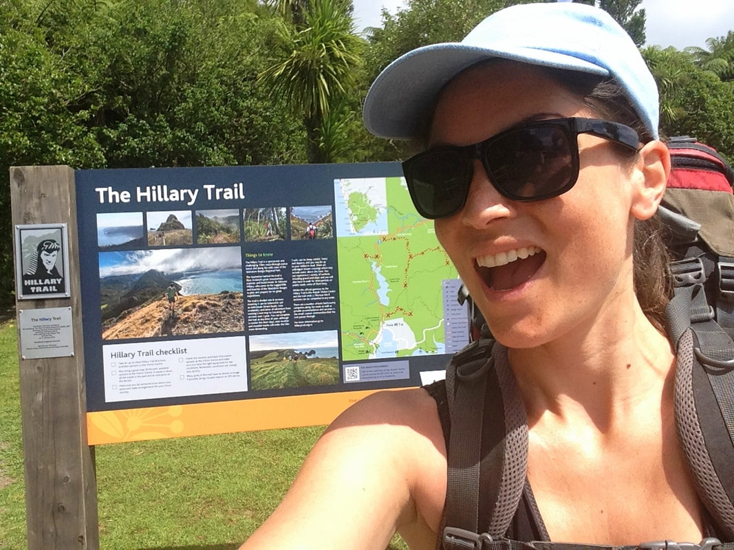
Sometimes a person can experience a sudden ache to undertake a specific action, the fulfilment of one precise activity being a (short- or long-term) life goal in itself. Think about those brave men and women who risk their lives conquering the Everest, or Philippe Petit, who spent his life fulfilling his mission of walking a tightrope fastened in between the Twin Towers.* In my specific situation I’m not talking that big, but a sudden untameable urge took over the moment I visited the Arataki Visitor Centre for the first time and witnessed the official start of the Hillary Trail.
* About which an interesting documentary is made, called Man on Wire.
* About which an interesting documentary is made, called Man on Wire.
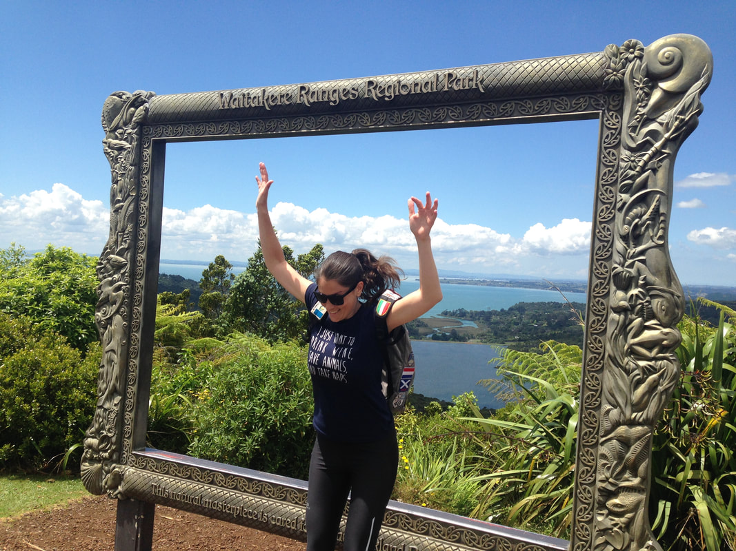
The trail is a highly challenging 77-km multi-day expedition through the native Māori forest of Waitakare Ranges and along the diverse coastline of this regional park. It passes through different environments and micro-climates, from rainforest full of the endangered kauri trees to rocky cliffs to mesmerizing black-sand beaches. The inspiration behind this relatively new trail (2009) is New Zealand’s mountaineer Edmund Hillary who uncovered every patch of Waitakere during his exciting explorations. The Hillary Trail is known for its steep climbs, demanding slippery descends, river crossings and overwhelming look-outs.
I was going to slay this dragon.
I was going to slay this dragon.
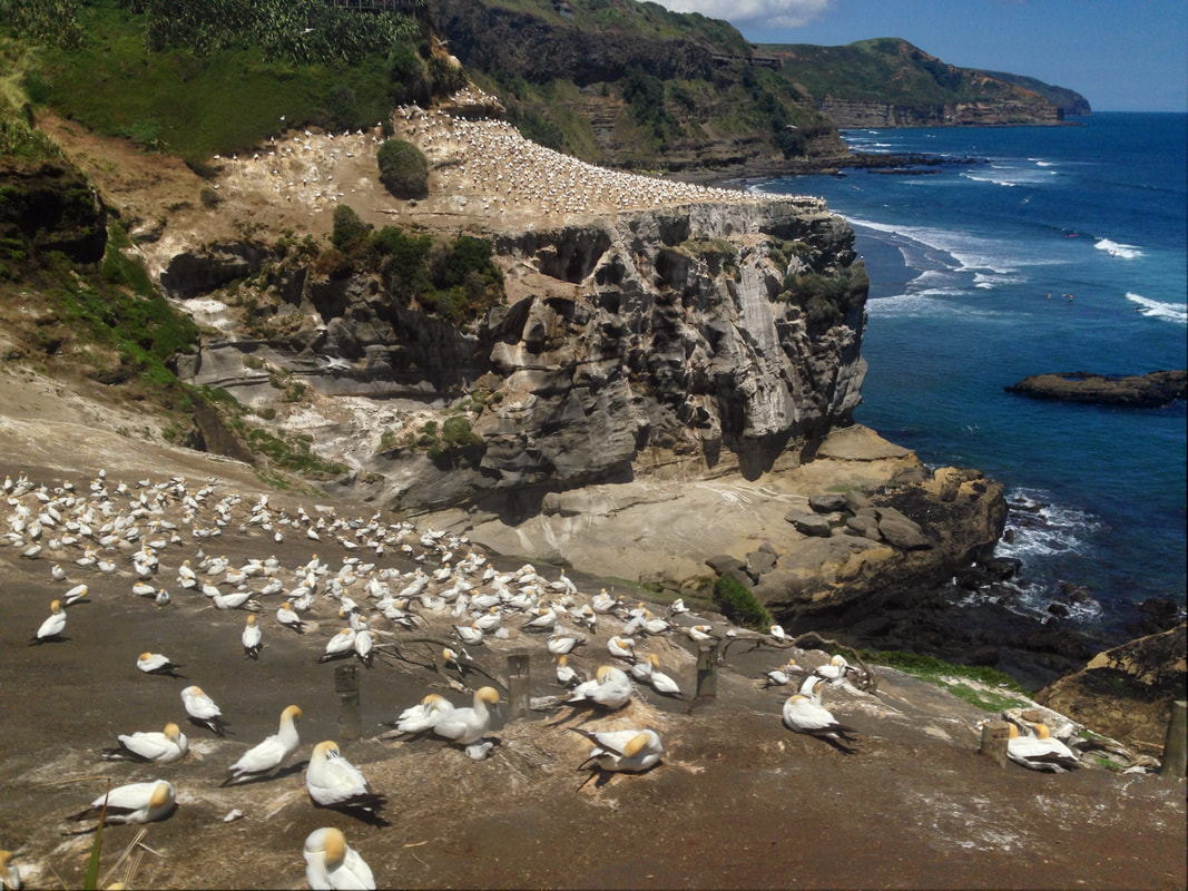
As an experienced hiker with a considerably high fitness level (I’m vegan after all) I decided four days should be sufficient. While I was doing some research in order to plan out my route I came across one slight disappointment though: in between Piha/Anawhata and the official end point of Muriwai there’s no camp facility* (and wild camping is illegal and finable in New Zealand). Now I’m comfortable with walking 10 hours a day, maybe 11, even taking into account I’m carrying a 15kg-backpack full of food, water and camping gear... but 15 hours after already walking three full days: no bloody way. I therefore decided to finish at Te Henga after a foreseen eight-hours-hike the last day. I’ve seen Muriwai Beach and its gannet colony already anyway... but it remained a bit of a frustrating factor.
* Later on I learned there is a private campsite at Te Henga, as I was hitchhiking with the owner... but be prepared to pay NZ$50 per night here instead of the usual NZ$8.
* Later on I learned there is a private campsite at Te Henga, as I was hitchhiking with the owner... but be prepared to pay NZ$50 per night here instead of the usual NZ$8.
I stocked up on dehydrated protein-rich food, nuts and dried fruits, and emptied The Warehouse with lightweight camping cooking facilities.
My packing list:
My packing list:
- Two changes of clothes, clothing items depending on weather: Wearing one set for two days, one clean pair for the other two... yes you’re gonna stink, get comfortable with that idea. You want breathable non-sticky clothing. Bring a swimsuit for the river-swimming in slightly populated areas where skinny-dipping is frowned upon.
- A fleece: The nights can get cool, even in summer.
- Rain clothing: Even if it’s not predicted, weather is very changeable in the mountains and you have to be prepared for everything. Everything!
- An extra pair of dry socks: For river crossings, you don’t want wet feet --> blister alert!
- Gore-Tex hiking boots: Again, you need to assure dry feet and the uneven rocky trails demand solid footwear... make sure they have been well broken in.
- Camping gear: A tent (I had an expensive light-weight trekkers version), sleeping bag, sleeping mat, pocket knife and headlamp (with spare batteries) are the bare minimum. I brought tape, tie-rips and fire starters to be extra prepared. A silver foil cover inside of the tent keeps the cold out and can be useful in case of hypothermia. I used my spare clothing and towel as a pillow.
- Light-weight cooking gear: I carried propane with a light-weight stove attachment, a tiny pot, pocket-knife-cutlery and a fold-in-cup. I should have brought a plastic plate too, but I forgot.
- Walking sticks: These bad boys made my life so much easier... Ensuring stability during steep ascends and a general better body posture while carrying such a heavy pack.
- A light-weight towel: Forget about the idea of showers, these are for river bathing and drying your feet after river crossings.
- Toiletries: Toothbrush and –paste, toilet paper (there are long-drop toilets, don’t leave used toilet paper in nature), contact lenses... obviously you don’t need make up to look good for the wildlife.
- Bug spray, level bush-bush: Mosquitoes are strongly represented here and don’t even get me started about the sand flies.
- Sunglasses and factor-50 sunscreen: The ozone layer is seriously f*cked up above New Zealand so you shouldn’t settle with anything less.
- A hat or scarf: You want to protect your head from the fierce sun.
- A map: Available at the Arataki Visitor Center... the trail is indicated quite well, but getting lost is a loud and clear no-no.
- Some spare bags: ... to avoid animals munching on your food I advise to hang it high up in a tree... I had mice eating their way through my tent in Patagonia once and learned a life-long lesson. You also need to take all your trash out of the park and will need a bag for that.
- Cellphone and powerbank: You’ll have limited coverage so GPS isn’t going to work, but for any emergencies it’s a good back-up plan. I always carry a whistle for emergencies too.
- A large water bottle (or several) carrying at least three litres PLUS a water filter: Nope, no drinking water available in the park, only river water which you sometimes come across only once a day – so you gotta stock up, carry it along and filter it out. Take this extra weight into account! The Auckland Council recommends boiling water for consumption, but how they think you’re gonna cool that on short notice? Bad idea.
- Basic medication: Band-aids to relief pressure points on your skin, disinfectant for wounds, tweezers to remove splinters, a tick-remover and any aspirin or anti-diarrhea medication is recommended. Take wasp-sting treatment if you’re allergic, as they are present.
- Light-weight high-energy food: Like nuts, pasta, rice, dried fruit etc. Focus on easy-to-prepare food and take into account that you eat almost double on a demanding trek compared to a regular day.
- A book and iPod: Not really life-saving necessities, but I was glad I took them along.
What I wish I took along but I didn’t:
- Talk powder: You’ll only know the consequences of two sweaty salty butt cheeks continuously rubbing against each other for ten hours a day when you have lived through the misery. Trust me on this one, you don’t wanna go there.
- An extra lighter or matches: If you brought ALL your cooking gear and food but your lighter stops working that means you’re back to zero. Been there too.
Day 1
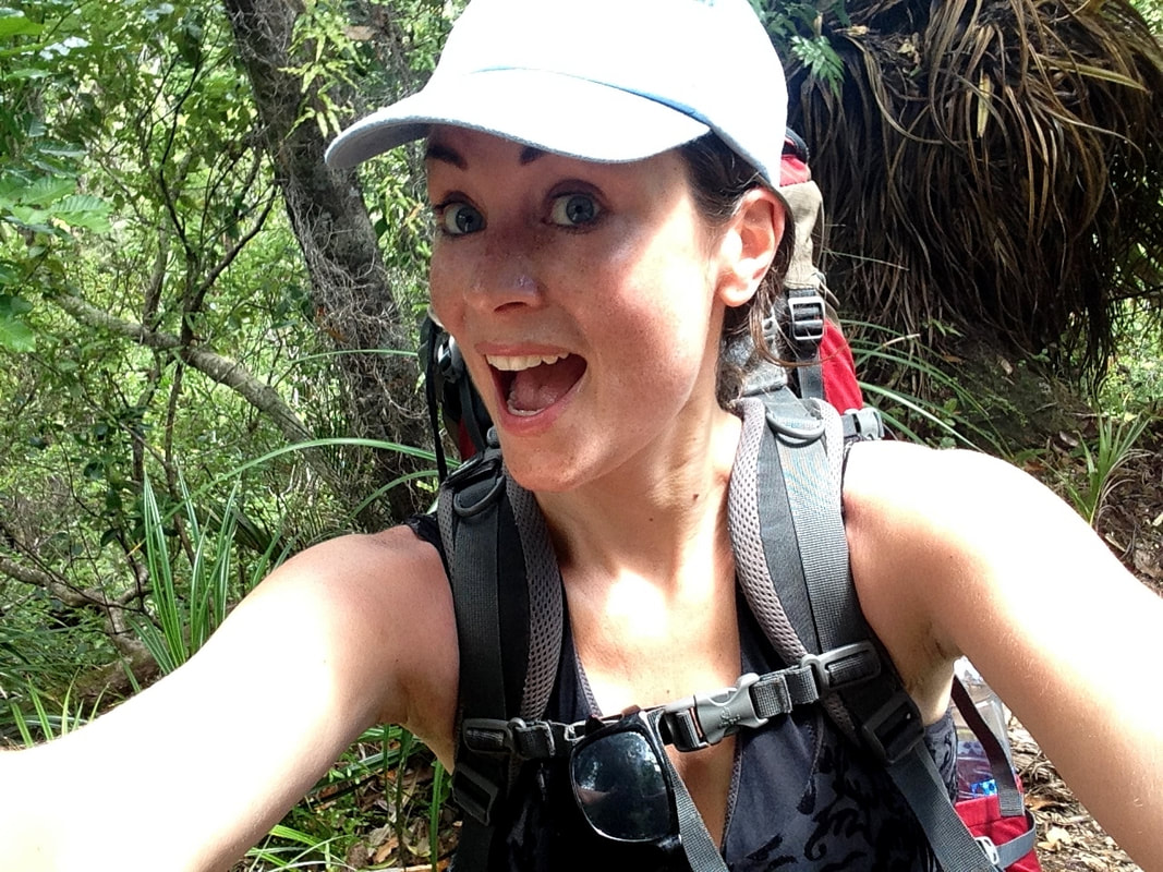
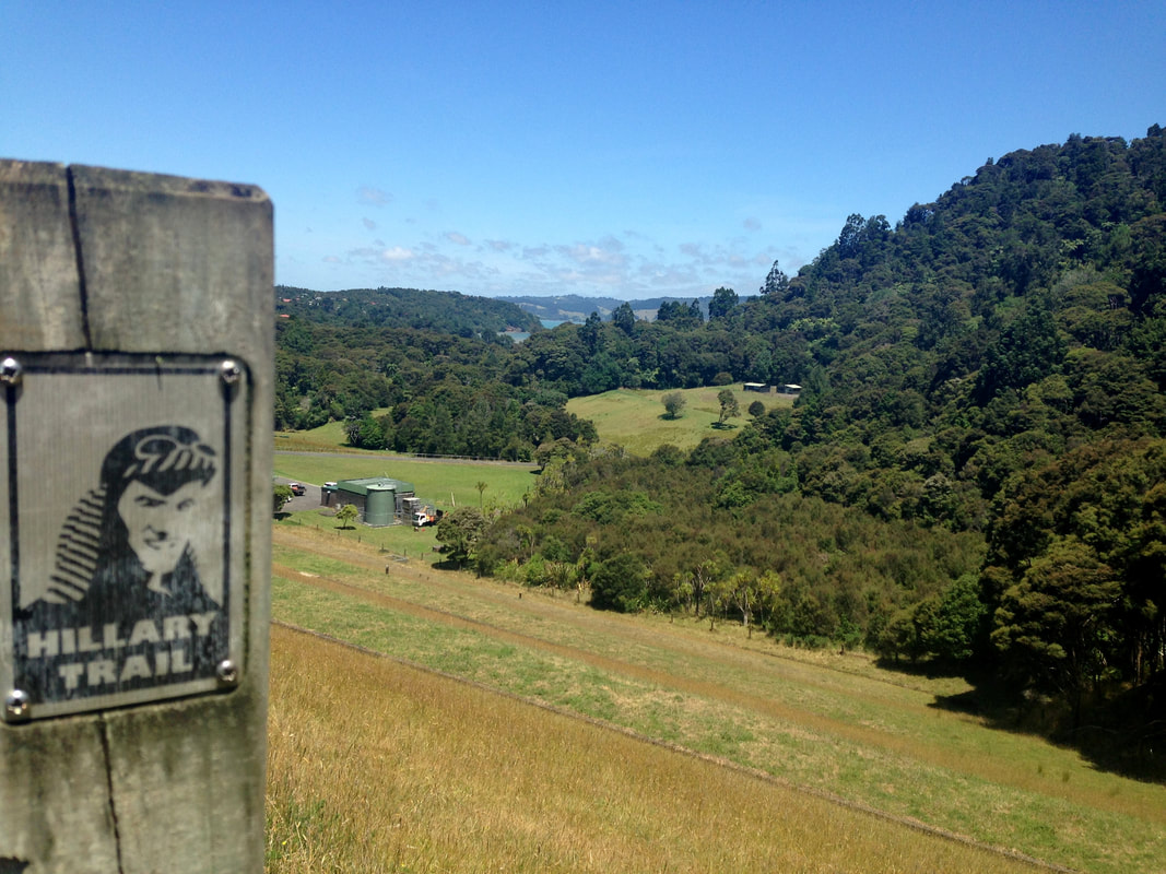
After a good night’s rest I mounted my monster of a pack on my poor little back. I was thinking how this could possibly have been any lighter, but given the fact that I was determined to do this trek in absolute solitude I concluded it was as lightweight as it could be. After a solid breakfast my friend Martijn dropped me off at the Arataki Visitor Centre where I pre-paid the municipality-owned campsites (2018: NZ$8 a night... although no one ever checks) and received my permit and cool little metal Hillary-tag for my backpack to show off to the ‘simple’ day-trippers. I registered my name and emergency contact and confirmed my planned whereabouts and hiking plan, so they would know where to look for me in the unfortunate case I would get lost. They had run out of official maps, but I turned out not to be that necessary... the trail is very clearly marked with the orange or metal Hillary-signs.
After a good night’s rest I mounted my monster of a pack on my poor little back. I was thinking how this could possibly have been any lighter, but given the fact that I was determined to do this trek in absolute solitude I concluded it was as lightweight as it could be. After a solid breakfast my friend Martijn dropped me off at the Arataki Visitor Centre where I pre-paid the municipality-owned campsites (2018: NZ$8 a night... although no one ever checks) and received my permit and cool little metal Hillary-tag for my backpack to show off to the ‘simple’ day-trippers. I registered my name and emergency contact and confirmed my planned whereabouts and hiking plan, so they would know where to look for me in the unfortunate case I would get lost. They had run out of official maps, but I turned out not to be that necessary... the trail is very clearly marked with the orange or metal Hillary-signs.
Overly excited I entered the Slip Track next to the car park following the historic tram line, obviously after I disinfected my shoes and gear to prevent the currently raging Kauri-tree disease from spreading (after every trail you’re required to take the responsibility to perform this action). After a steep ascend I continued on the Pipeline Track, which was definitely more scenic than it sounds. I clambered up-down-up-down-up-down (which appeared to be the general theme of the Hillary Trail) until I reached the actually gravelled Lower Nihotupu Dam Road. I hate roads. I want off-the-grid-tracks, nothing reminding me of civilization! Nevertheless, I had to follow it for one kilometre uphill in the scorching sun until I reached the more interesting Hamilton Track leading me passed waterfalls.
After it turns into the Crusher Pipe Track I reached another road again, bummer. The Smiths Road is right back into the civilized world, but it does bring you passed a dam crossing, which is a rather engaging sight. After crossing the dam I followed the Huia Dam Road Track all the way towards Huia Beach, getting lost along the way as the usually clear signage all of a sudden disappears here. To get back on track I disappointedly followed the road for a bit (with cars raging by, yuck) until I found the Huia Settlers Museum marking the entrance of the trail to the Karamatura Campsite.
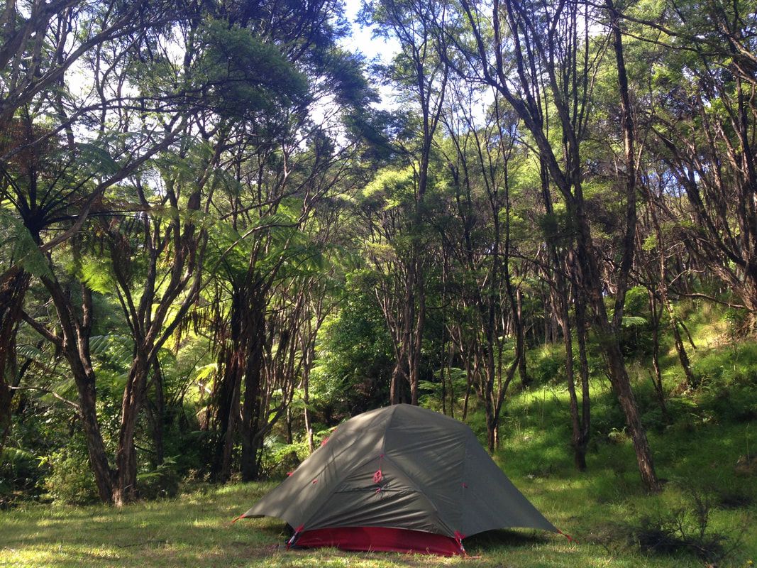
I had to cross a river for it, but there it was: a beautiful desolate clearing amidst pure nature right next to a refreshing stream. A scenic slice of heaven.
As I walked the supposedly five-hour-trek in a bit less time I nonchalantly set up my tent, away from everything and everyone and right next to a stream access. I rinsed off my sweaty body in the invigorating creek which had all the feels and more of a private day spa. I was lucky. Lucky that I chose this adventure to be mine.
Day 2
I had read this would be the most challenging day of all and in retrospect I have to confirm this certainly wasn’t a lie. After a so-so night of continuously waking up from all the mosquito-zooming (it was impossible to leave my tent for a mid-night pee, unless I wanted to fill up my tent with 25 bloodsuckers per square centimetre guaranteeing an immediate personal slaughter). I washed myself in the ice cold river and brewed a caffeine- and protein-rich breakfast to adequately prep for the intensity I brought onto myself.
I crossed the river to reach the jungly Karamatura Loop leading towards the Karamutara Forks.
You know... I always thought I understood what the definition of ‘steep’ meant, but this very moment it got a deeper meaning. Whenever I’ll face a difficult moment in my life I’ll from now on look back on this never-ending, bumpy, almost vertical climb in a humid forest heated up by the 35-degrees boiling sun, performed with a back-breaking-heavy-pack cutting its way through my damp skin and pressuring my bone structure, while I was almost sweating my organs out. It’s impossible to compensate this sweat-fest with any level of water intake, I basically swam up. Finishing this section felt like a victory, as I was convinced this was the most demanding part of the day. I’m so naive.
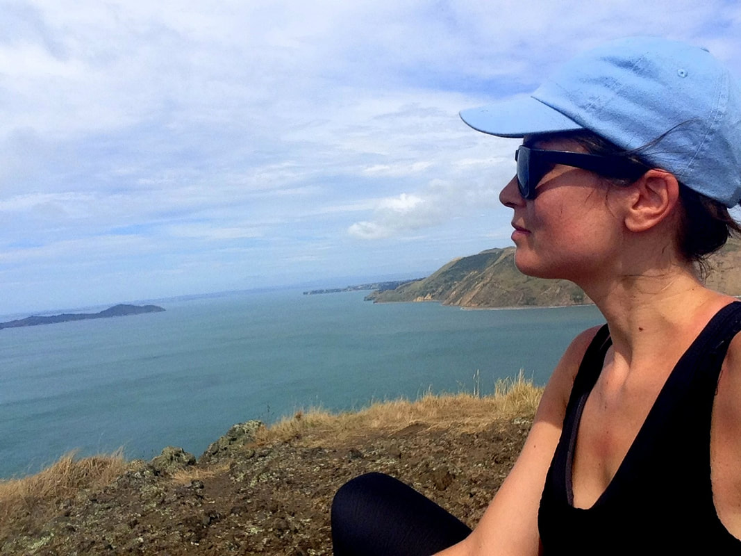
I continued on the relatively ‘flat’ Donald McLean track and even felt energized enough to take the off-trail detour to the steep McLean Peak. The reward: absolutely fantastic panoramic views no one should ever miss out on.
I continued on the relatively ‘flat’ Donald McLean track and even felt energized enough to take the off-trail detour to the steep McLean Peak. The reward: absolutely fantastic panoramic views no one should ever miss out on.
From there I took the very long Pūriri Ridge Track going down to Whatipū Road. Your knees will pay for this one, words have yet to be described to define the intensity of this trail. I crossed the road to reach the Omanawanui Track... which is the absolute mind-sweeping highlight of the entire Hillary Trail.
Believe me, it’s not going to be an easy part. Your toes and knees will take a beating like never before during the inhumane descends and your muscles will nearly burn out of your body during the virtually 90-degrees-climbs.
More than once you’ll curse your entire existence and wonder what self-torturing-tendency convinced you to choose to do this... but the answer is right in front of you. Open your eyes and soak up this vision incomparable to anything you’ve ever seen before.
Breathtaking views on the Manukau Harbour, South Head and the entire Waitakere Ranges are all yours to conquer. Look very closely at these mountains you see... because you’re going to climb them. Every single one of them. All on the same day. With trails so steep chains are slammed into the rocks to hold onto. Have fun, man.
The delicious misery ended when I reached the Whatipū Campsite in the valley. I should have stopped here, every muscle and every vain in my body was begging to do so... but I didn’t. I still had about two torturous hours to go in order to reach the Pārarahā Campsite via the steeper-than-steep Gibbons Track.
The delicious misery ended when I reached the Whatipū Campsite in the valley. I should have stopped here, every muscle and every vain in my body was begging to do so... but I didn’t. I still had about two torturous hours to go in order to reach the Pārarahā Campsite via the steeper-than-steep Gibbons Track.
I mentally broke down during this part. My body was shattered, I was bleeding from all the friction on my skin, I had blisters, my hips had turned blue, everything hurt. My spirits were down, I was tired. This state of being caused mistakes, misplacement of feet and miscalculation of distances... I fell, bruised myself and screamed out loud every now and then out of pure frustration.
Then I remembered a phrase of Edmund Hillary:
“It’s not the mountain we conquer, but ourselves.”
I got myself together and focused on completing my mission.
Then I remembered a phrase of Edmund Hillary:
“It’s not the mountain we conquer, but ourselves.”
I got myself together and focused on completing my mission.
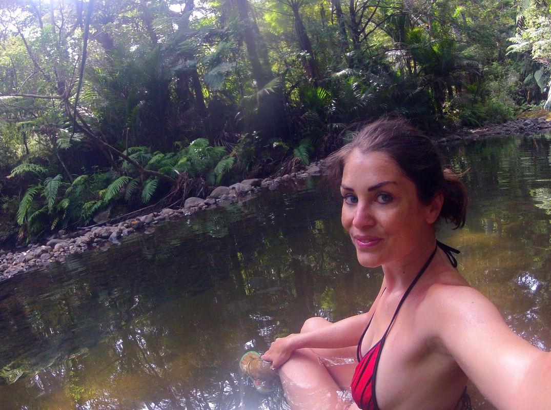
Via the steeply descending Muir Track I dipped down into the lush valley until finally... FINALLY a clearing revealed itself. Pārarahā, my personal Fata Morgana. And I had it ALL TO MYSELF. There was no one!! As soon as my tent was up I dropped all my damp clothes and dived into the river. So refreshing! So deserved! Someone told me I would crave for 5* luxury and swimming pools during this adventure, but quite the contrary is true: I dream of skinny-dips in greenery-framed rivers when I’m stuck in cities. I guess only outdoor lovers will understand.
I cooked a meal that can probably be qualified as ‘gross’ in any other life situation, but here it tasted like the best thing I ever ate.
I cooked a meal that can probably be qualified as ‘gross’ in any other life situation, but here it tasted like the best thing I ever ate.
Day 3
Even though I was the most tired person in the wide surroundings, I slept terrible. It was too hot, my mind was too full. But... the third day was supposed to be an easier one. I highly appreciated that. So after a slow morning of an easy breakfast and cheerful singing I lazily took off.
However, if your body is already broken down from the previous days nothing really goes easy. My body felt heavy, every step felt like my hiking boots were layered with cement. Tediously I descended into the valley, crossing rivers to get there, and continued my journey over the soft surface of the beach. Slowly shuffling through the shadeless dunes I made my way to the Tunnel Point Campsite, following my trail straight through a railway tunnel [Waitakere grounds was the decor of the main logging industry, a period especially the Kauri Museum in Matakohe, a place I visited later on, sheds an interesting light on].
There I lost the trail again, as the signage stopped... so I simply continued over the black coastline until I saw a lifeguard to whom I could ask some directions. He had no clue, but he pretended he did... sending me straight through a river and an impenetrable wall of wild hibernation, providing me with an extra tad of adventure.
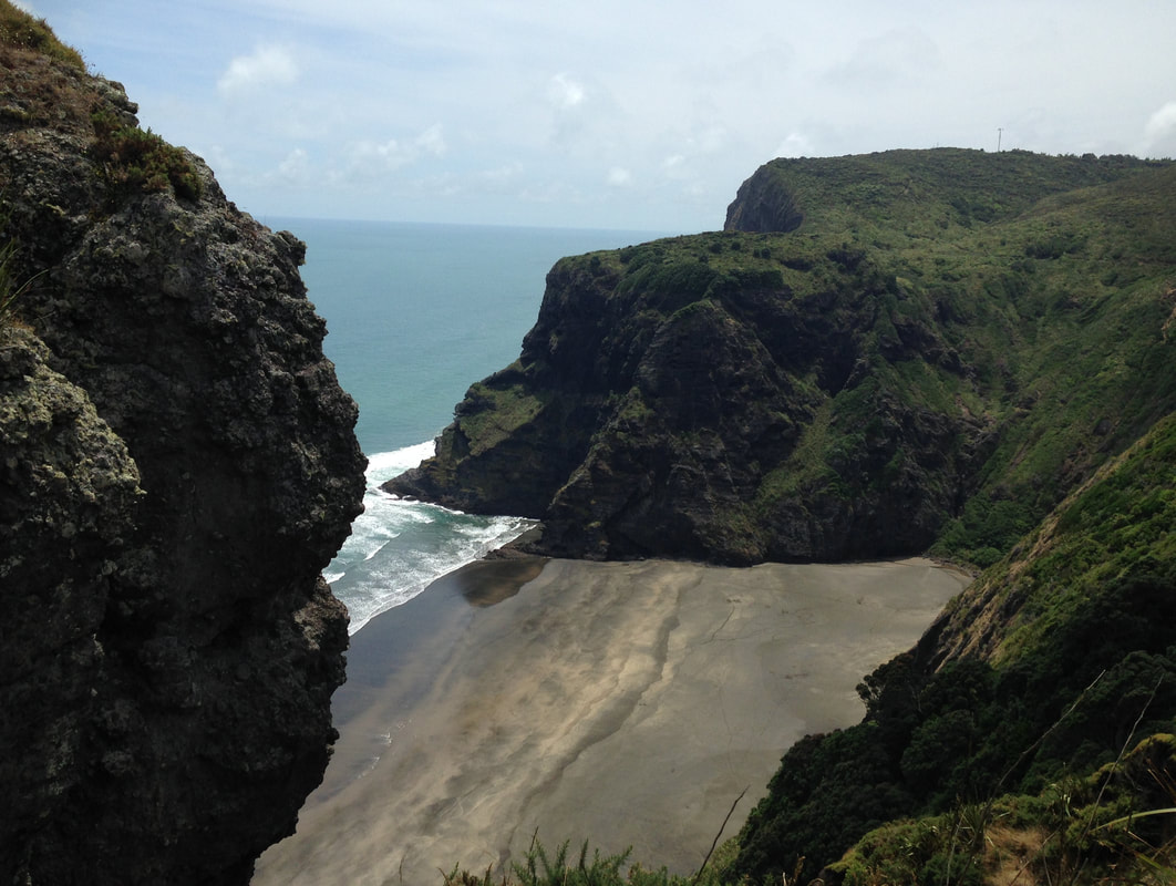
Once I reached Karekare I had another 4-5 hours to go to the famous, backpacker-loaded Piha. To continue this journey I had to walk a short while over the public Watchman Road in order to commence the arduous Comans Track, soaking my body in a bath of sweat. After a never-ending humid climb I got rewarded with a little breeze blowing against my body, while overlooking the cliffs and covered beaches from the summit.
Once I reached Karekare I had another 4-5 hours to go to the famous, backpacker-loaded Piha. To continue this journey I had to walk a short while over the public Watchman Road in order to commence the arduous Comans Track, soaking my body in a bath of sweat. After a never-ending humid climb I got rewarded with a little breeze blowing against my body, while overlooking the cliffs and covered beaches from the summit.
I continued over the day-trippers-loaded Mercer Bay Loop Track leading over the cliff tops, without any shadow to escape to (the mercury hit almost 40 degrees that day). Once I got that one down I had to walk over an unattractive public road for a long time, cars dangerously racing passing with 120 km/h. Not cool. I reached the Ussher Track about an hour later, bringing me eventually to the backpackers-bombed Kitekite Falls.
After these days in absolute solitude I had to deal with a dramatic culture shock. Loud people, ghetto blasters... what a terrible infestation of humanity!
I ran passed it, I didn’t want to have anything to do with this place, however pretty the waterfall might be. I was suddenly not looking forward to my planned stay at the Piha Campground, being around these same people.
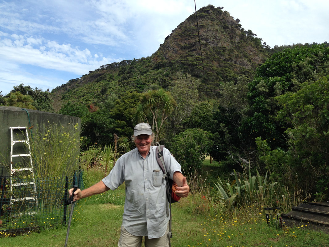
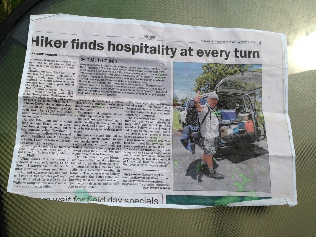
But as always when shit happens, life makes it up to you. In a marvellous way. While hiking I ran into an old man. As we both had this whole hiker outfit going on we attracted each other’s attention and started talking. His name was Baz, 77-years-old and he still hikes every single day. He even made the local news by hitchhiking all over New Zealand, being met with the same level of hospitality I was about to receive from him... After ten minutes he confessed most of these lands and mountains I was looking at were his private property and he asked if I wanted to spend the night. I obviously cancelled the campground reservation and exchanged it for something more intriguing. He built a guest house out of old caravans, every caravan fulfilling a part such as the bedroom, kitchen, dining room and living room. After three days I had my first warm shower and an actual bed to sleep in. We spent the night exchanging stories about both our hiking adventures, while sharing food and a bottle of wine, proofing that age doesn’t count under the flag of friendship. Beauty reveals itself in unexpected places. This is a way to grow old.
Day 4
I started my day well-rested and refreshed. I hugged my new friend goodbye and headed to the well-known Piha Beach, hiking passed the majestic Lion Rock giving this famous landmark identity. I spent a great deal of time finding the sequence of the trail, as they apparently ran out of Hillary-signs... but when I finally found the tucked away Marawhara Walk I excitedly ascended towards the peak of Anawhata.
I started my day well-rested and refreshed. I hugged my new friend goodbye and headed to the well-known Piha Beach, hiking passed the majestic Lion Rock giving this famous landmark identity. I spent a great deal of time finding the sequence of the trail, as they apparently ran out of Hillary-signs... but when I finally found the tucked away Marawhara Walk I excitedly ascended towards the peak of Anawhata.
While the fresh wind cooled down my heated body on the long Kuataika Track I enjoyed the mesmerizing coast-views. I had a lot of up-down-up-down-up-down coming my way, but after three days of Hillary this wasn’t any news. In complete solitude I suddenly realized I didn’t see anyone else doing the Hillary Trail all these days... only day-trippers. No one is that crazy. It secretly straightened my shoulders with a fierce flash of pride.
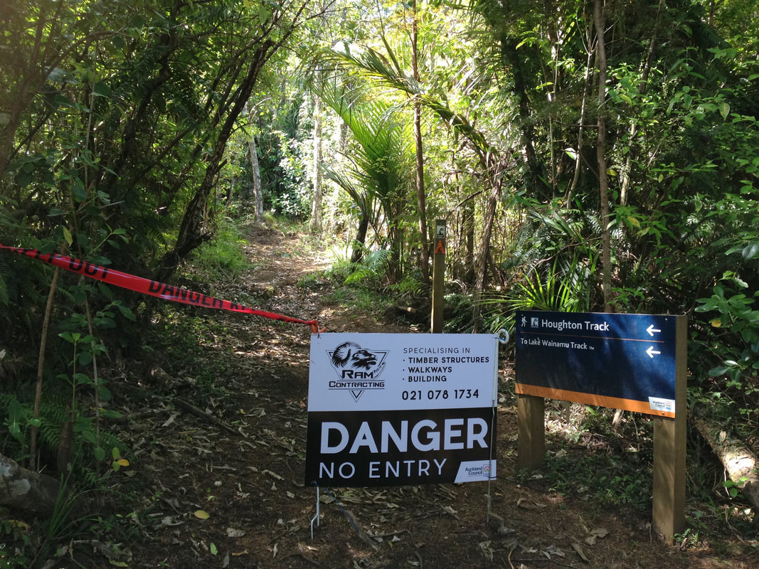
Once I reached the section marking the kickoff of the Houghton Track I was met by a sign saying “danger – no entry.” So, what I’m supposed to do... Turn around? Camp here? Having some phone reception again I called the Arataki Visitor Centre for further information and learned I in fact can continue, but the track is one big disaster. This was very true. A little applause for the fact that I did not break my backbone on this monster of a ‘trail’ is appreciated.
Once I reached the section marking the kickoff of the Houghton Track I was met by a sign saying “danger – no entry.” So, what I’m supposed to do... Turn around? Camp here? Having some phone reception again I called the Arataki Visitor Centre for further information and learned I in fact can continue, but the track is one big disaster. This was very true. A little applause for the fact that I did not break my backbone on this monster of a ‘trail’ is appreciated.
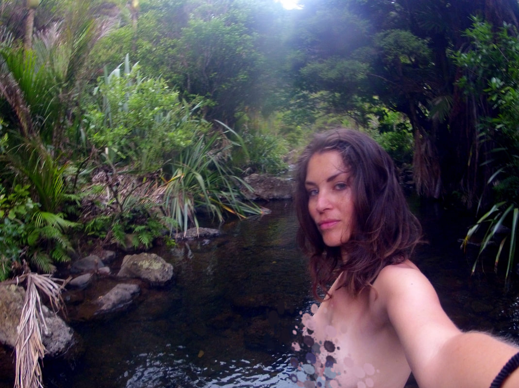
Very unexpectedly I suddenly ran into Lake Wainamu where I found the Waitohi Falls: ridiculously scenic and absolutely deserted. That is, until I was laying butt-naked into the water, then all of a sudden a whole can of tour groups and picnicking families was opened. Ah well. Society teaches us to attach shame to the true state of our bodies and inevitably connects it with the concept of porn, but that’s very context-specific. Here was just a human-being going back to the roots.
Cooled down and mentally satisfied I completed the last Wainamu Track towards the black sand dunes of Te Henga, wading the final part straight through a river... and hitchhiked back.
Cooled down and mentally satisfied I completed the last Wainamu Track towards the black sand dunes of Te Henga, wading the final part straight through a river... and hitchhiked back.
I did it. I f*cking did it.
In order to support the travelers’ community, I spend many hours per week to adequately document all information and advices for prospective visitors, accompanied by a (hopefully) entertaining insight into my personal observations and experiences. This service is and will remain free. However, if you voluntarily want to make a contribution and support my travels and thus the creation of new stories and information supply, here is the button you’re looking for:
Related:
- Discover the magic of New Zealand's North Island: Auckland & its islands, Matamata (Hobbiton), Northland, Port Waikato, Rotorua, Taupo & the Tongariro Crossing and Wellington
- Travel New Zealand's South Island: Nelson and its Abel Tasman NP, Arthur's Pass, Punakaiki (Paparoa NP) & Hokitika, Queenstown, Arrowtown, Cromwell, Christchurch, the South East Coast, the Fox and Franz Josef Glaciers, Kinloch, Glenorchy, Te Anau, Milford Sound, Wanaka and Stewart Island
- The horror of obtaining a New Zealand visa in Brazil
- Pacific-island-hopping: Samoa & Fiji!
- Camping and trekking in southern Patagonia: Torres del Paine, Chile
- A 3-day trek through the remotest parts of Bolivia
- The 4-day Adventure Sports Jungle Trek to Machu Picchu, Peru
- Off the beaten path in Peru: trekking in the northern Andes
- An overnight forest hike in the hottest part of Paraguay
- Getting lost in the undiscovered forests of Brazil: Itatiaia National Park, Cambará do Sul and Ilha Grande
- Green in Colombia: Minca, Salento & Tayrona National Park
- The green heart of Uruguay: Minas
- Nature at its finest: Monteverde, Costa Rica
- Nicaraguan hiking adventures: Matagalpa, San Sebastián de Yali, Mombacho & Laguna Apoyo
- A perfect wooden cabin in the middle of absolutely nowhere: Aukštaitija National Park, Lithuania
- Outdoor lover? Head down to Ecuador and don't miss Banos
- Hiding in the woods: the non-touristy Mols Bjerge National Park, Denmark
- Getting lost in the undiscovered forests of Brazil: Itatiaia National Park
- Hiking the Highlands: Glencoe (West Highland Way) and Isle of Skye, Scotland
- Malaysia's hottest hiking spots: visit Taman Negara, Cameron Highlands, Penang, Miri and Kuching!
- Hike the best national parks of South Korea: Jirisan NP, Hallasan NP, Hallyeohaesan NP, Taebaeksan NP, Seoraksan NP and Odaesan NP
- Romania's Winter Wonder Land: Skiing in Sinaia & the Sibiu Region (and sleep in an igloo!)
- Check out Budget Bucket List's FAVORITE HIKING DESTINATIONS worldwide!
- Hiking Poland's longest mountain trail (550km) with a tent: Glowny Szlak Beskidzki - check the reports here!
- Walk like a pilgrim! 6 weeks on the Camino Frances towards Santiago de Compostela / Finisterre (900km) - check the reports here!
