Rota Vicentina: Fisherman's Trail & Historical Way
Every year I go to Portugal, often a month or so. Every year I’m in the Algarve. The kind of stuff that happens if you travel non-stop and end up having friends everywhere (the best one in southern Portugal, as such). This time I worried if there was anything left to discover, because I for sure gave the full 100% the previous times, not leaving a patch unexplored, or so I thought… but sure there is, it’s Portugal for fuck’s sake! The pearl of Europe, home to its most virgin beaches. A strong statement, but one I firmly back up and have the right to express fully informed, as I have never met anyone yet who travelled Europe more extensively than I did, incl. beach destinations like Spain (visited 9x – and lived there), Italy (visited 3x – and lived there), Greece (visited 4x), Croatia and Turkey (visited 7x – and lived there, aaaaand the beaches are not even officially part of Europe). Portugal wins, end of discussion.
So: How can one combine those mentioned beaches with an actual activity, as god forbid, we ever get bored? Sure, you can go scuba-diving, surfing*, kayaking, sailing… BUT, ever thought of hiking?! You should, as Portugal is the base of two of Europe’s most breath-taking coastal long-distance trails. One of them the Caminho Portugues, one of the many pilgrim-trails towards Santiago de Compostela (I personally completed the Camino Frances), and one of them the Rota Vicentina, a total of about 450 km of trails.
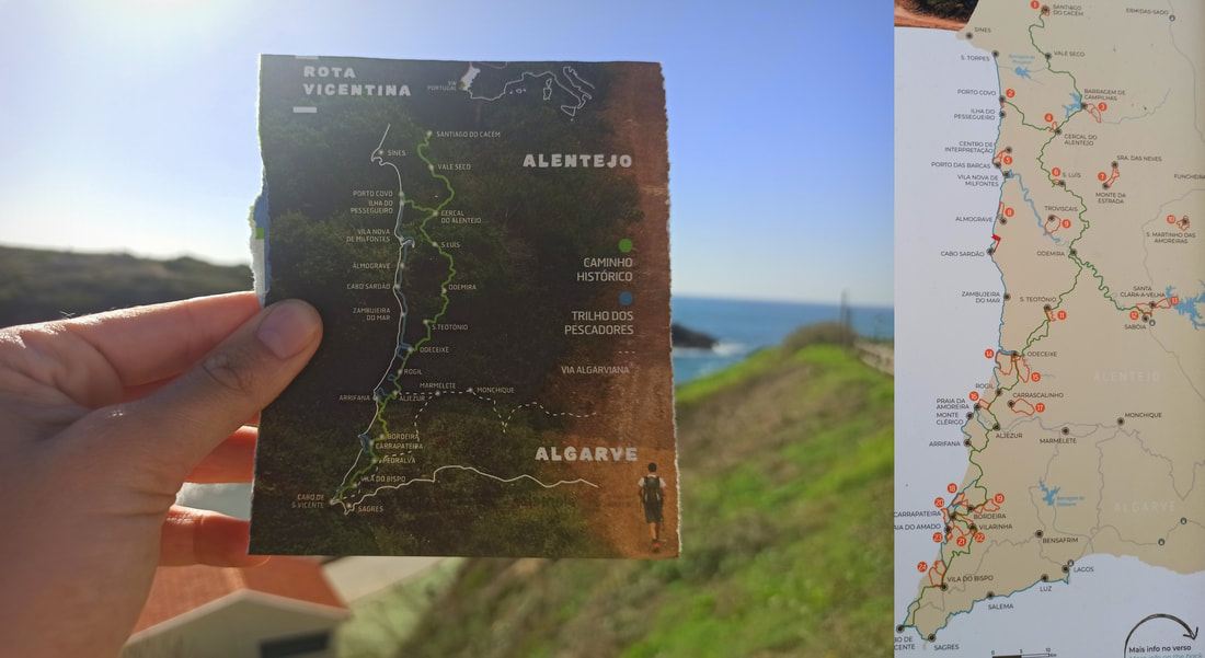
Now don’t be confused: The Rota Vicentina is not one long 450-KM-trail going from A to B… it consists of an entire network of coastal, inland, and short circular trails, adding up to a total of 450KM, but often parallel to one another. The circular trails are day hikes. The inland trail, also called the Historical Way / Caminho Histórico, starts at Santiago do Cacém or alternatively at Porto Covo, and ends in Cabo de São Vicente (hence the ‘Vicentina’ route - 232 KM from Santiago do Cacém). The newer coastal trail, also called the Fisherman’s Trail / Trilho dos Pescadores, starts in Porto Covo, and officially ends in Odeceixe (76KM)… but has extensions all the way down to Cabo de São Vicente as well, and even on to Lagos, often overlapping with the inland Historical Way, and sometimes splitting up in 2 or more alternative Fisherman’s Trails. So yes, it’s actually quite normal if you are confused. I for sure was.
* Portugal’s waves are the world’s highest, at Nazareth
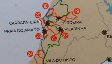
On these maps: Blue = The Fisherman’s Trail, Green = The Historical Way, Orange = Circular Trails. The trail marks of the Fisherman’s Trail are blue-green (to confuse you). The Historical Way red-white, and the circular trails, also very confusing, red-yellowish.
So, let’s get down to it: I actually walked the Rota Vicentina, incl. the entire official Fisherman’s Trail (Porto Covo – Odeceixe), as well as long stretches of the Historical Way, mixing and matching a bit between the two routes whenever I felt like it, until the official end point: Cabo de São Vicente. And I have some experiences and tips to share. Fasten your seat belts:
1: Porto Covo – Vila Nova de Milfontes
The official Fisherman’s Trail stretches from Porto Covo to Odeceixe and is to be walked in 4 days. Now I don’t like official stuff, so I decided to screw all that and do whatever I want… walking it in 3 days. Turns out there is a reason why 4 days are recommended (I found out the night before leaving): There is hardly any civilization, villages and as such accommodation options in between the stretches, limiting your options severely. Now usually that wouldn’t be too important, as I tend to carry my trekking-tent with me and wild-camp wherever I am when the sun goes down (which is also illegal on the Rota Vicentina – but screw that too), but these first 3 days I was completing with my friend whose levels of comfort differ slightly from my own. So booked accommodation it was!
Now that didn’t change much on the first day, which we walked “according to the rules”. The stretch from Porto Covo to Vila Nova de Milfontes is only 19km, which is exactly enough considering we still had to drive 1,5 hours to Odeceixe, park the car, take a 1-hour bus to Porto Covo, and start our hike just before midday with daylight only until 5-6PM (November). And mind you, a kilometre walked on loose sand counts double… we learned soon enough. My god, it’s like quicksand, your feet pushing the sand away instead of your body forward! An element I didn’t consider beforehand, as I simply never walked a multi-day trail over beaches and through the dunes before (except of some parts in the short 5-day Hillary Trail). Also the strong heat came as a (pleasant?) surprise factor at the end of November, tanning our skin comfortably but also dehydrating our bodies as we didn’t bring enough water for this kind of weather… I can only imagine the 40+ degrees Portuguese summer conditions!
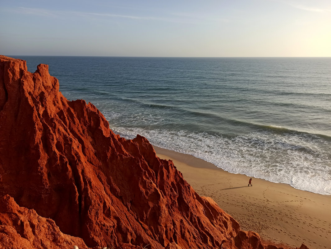
The stretch is of indescribable beauty. You kick off with fantastic coastal views maintaining their magnificence throughout the entire day, slithering over the black-and-white coastline of Alentejo… quite different from the red rocks full of iron the Algarve is famous for! Especially the stretch granting views upon the Ilha do Pessegeiro deserves a special mention.
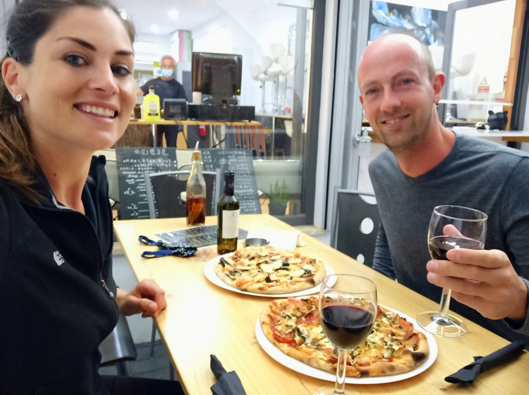
Vila Nova de Milfontes is a substantial town with plenty of budget accommodation opportunities (I stayed at Patio Victoria) and restaurants, be it a bit dead in low season (although this might be blamed on Covid). Eat the best pizza of Portugal at La Sicilienne (it doesn’t look like much, but don’t let that put you off) and treat yourself on 80-cents wines in the local bars, to celebrate the first night of the Fisherman’s Trail / Rota Vicentina as completed!
Day 1 tips:
Day 1 tips:
- Twice a day a bus from the company ‘Rede Expressos’ drives in between Odeceixe and Porto Covo, taking approximately 1 hour and stopping at most villages along the Fisherman’s Trail. Check their website for up-to-date schedules. This bus goes to Lisbon too, if this is your destination after completing the trail. The bus stop in Odeceixe is located at the end of the bridge (outside of town), and in Porto Covo in front of the Escola Primaria. Tickets between Odeceixe – Porto Covo cost approx. €10 and officially have to be bought online in advance, although the bus driver will sell a spot to you if there is one left (and put the money in his own pocket).
- There are no shops or bars in between Porto Covo and Vila Nova de Milfontes, except very close to the named villages. Carry at least 3-4 litres of water, more in summer, and bring more food than you think you can eat (you need way more energy hiking than on a normal day).
- Don’t start too late. Although 19km doesn’t sound like a lot, the loose sand will significantly slow you down.
- Bring sunscreen and protection. You are walking on exposed coast without any shelter or shade. We ended the day dehydrated and sunburnt in November… imagine high season!
2: Vila Nova de Milfontes - Cabo Sardão (Cavaleiro)
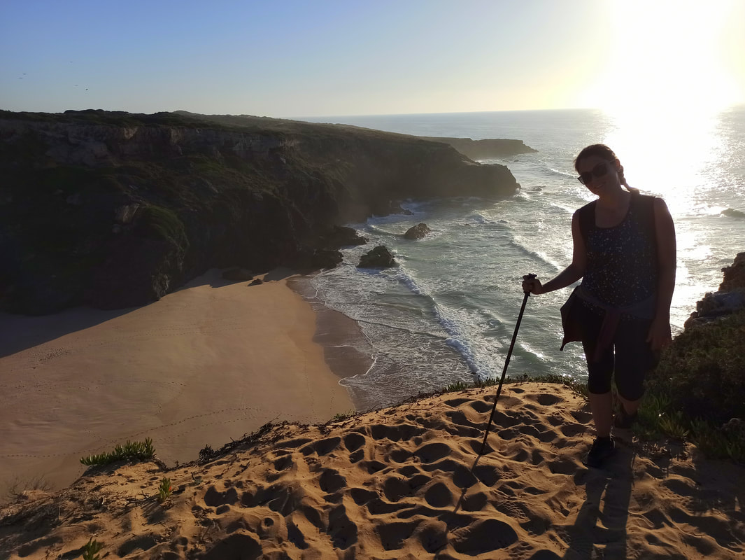
With the first morning sunrays (oh who am I kidding – we left at 11AM) we marched out of town, gratefully accepting the less scenic but easier first kilometres on asphalt. Enjoy it as long as it lasts, I’d say, as many slow miles on the by now already notorious loose sand are awaiting you once again this day. We soon learned that this stage shows a tad more variation, without compromising on its handsomeness. Sure, there will be plenty of pristine coastline, but it’s mixed up a bit with some forest tracks and passages traversing high hibernation. A welcome change, also granting some shade here and there. Beach-wise you’re in for a true treat today, as the dazzling lookouts over a long series of precious isolated beaches are all yours to enjoy. It’s baffling and never-ending, how does Portugal do it?!
Today’s ‘official stretch’ reaches until Almograve, which is where we consumed a somewhat acceptable vegan lunch… but we tried to push through until Cavaleiro, a little fishing village a tad further down the trail, exposed to its own humid micro-climate. As they say, the last kilometers weigh the heaviest, the loose sand requiring most effort when your tiredness starts to set in, and properly wearing you down until the very end. Try to focus on the ongoing stream of coastal panoramas to keep you going. The town of Cavaleiro isn’t too inviting… one could argue, almost dodgy. Accommodation options are quite limited as well, but I tracked down a comfortable Air BnB, be it rather pricy, to unwind and mostly: sleep and recover. We were properly broken.
Day 2 tips:
- Water and food supplies can be bought along the way in Almograve, so you can carry a bit less than yesterday.
- Pre-book accommodation if you want to stay in Cavaleiro, as there aren’t too many options. Be careful if you feel like wild-camping in the forest, as this is terrain of wild boars.
- I recommend having hiking poles on this stretch, if only to plough to the loose sand and get some kind of stronghold. You can find some wooden sticks in the early forest-stretch if you didn’t bring any.
3: Cabo Sardão (Cavaleiro) - Odeceixe
This day scared us the most, as we had a solid 32KM ahead of us… being familiar with the physically demanding loose-sand-situation, we wondered if we could ever finish it. Being terrified turned out to be a good state of mind in this context, as whatever follows is not as bad as imagined. In fact, we slammed out the first half until Zambujeira do Mar (normally the end of day 3 on the Fisherman’s Trail) in no time, as the trails were solid and flat, be it a bit more boring and less scenic.
Shit got real from Zambujeira on, the elevation going full in the remix (up-down-up-down), but also giving your money’s worth: the landscapes get all the more interesting… I could even argue, the most appealing views of the entire last 3 days together. Portugal in its full glory!
My friend had walked himself towards an injury, forcing us into a welcome stop at a tiny bar on a cliff called Palhinas. A not-so-hidden-gem attracting tourists and locals alike, for obvious reasons. The last 10KM were a delight for me, but a downright horror for my dear friend, the loose sand finally defeating his poor ankles. While he hitchhiked the last 3KM to Odeceixe, I tried to stay committed to the trail and finished every last meter of it - no cheating! It doesn’t really matter. I did it, he did it, we did it! In the 3 days planned… that calls for a celebration. Wine, Indian food, wine, a street party, and maybe some more wine! The Fisherman’s Trail: Big Fat Check!
Day 3 tips:
- Water and supplies can be bought along the way in Zambujeira do Mar, which is quite a big town, and in Palhinas. You’re getting more into civilization at this stretch.
4: Odeceixe – Arrifana
We finished the Fisherman’s Trail, time to go home. Well, that’s what my friend did, at least. Before driving off to western Portugal I had last-minute thrown my tent and camping gear in the back of the car, ‘just in case’… and while walking I made up my mind to actually finish the damn thing until the very end: Cabo de São Vicente. I might as well. It’s not that with some hysterical virus raging over the globe and paralyzing society I have so much more to do. Better keep hiking and steer clear from mayhem.
So off I went, solo. As I spent the last 3 days following a coastline, I figured today I’d take the in-land Historical Way for some change of scenery. Easier said than done, as first you need to leave the town of Odeceixe and the place is a labyrinth. Long live Wikiloc, a GPS-app where anyone can plunge down their hiking routes… and sometimes falsely so, I realized the first few hours following the GPS-coordinates along boring man-made canals traversing monotonous countryside towards the tiny town of Rogil. Turns out, somebody had lost his way, nevertheless still published his faulty route as being the Rota Vicentina, and now I was repeating his mistake. Thanks, asshole. Luckily, after Rogil I found the trail signs back again (red-white this time), and continued along a more interesting path towards Aljezur, my planned stop for the night (there’s a campsite there).
However, once there, I realized I wasn’t the least tired… and the campsite wasn’t that appealing either. So I continued, as it was only 2PM after all. I stocked up on supplies at the big Intermarché, a big supermarket catered to the needs of the ever-growing surfer-population (incl. washing machines and van parking spots), and moved on without a plan. I looked around continuously to find any wild-camp spots without marks of wild boars (muddy and damaged tree trunks – roots pulled out of the earth), as during a day-hike I was once chased by a pack and I don’t remember this as a very enjoyable experience. Their tusks can properly pierce you in inconvenient body parts. I didn’t find a good spot, and realized my best bet was the surfer’s town of Arrifana, off the Historical Way but on an extension of the Fisherman’s Trail. This added another 12KM to my already walked trail today, totalling an ambitious 34KM after the 32KM-day… I have no chill.
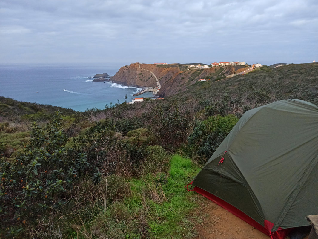
Tingling from exhaustion I watched the sunset, waiting for welcome darkness to secretly pitch my tent outside the patrolling eye of the local police force trying to tackle the wild-camp-problem caused by the growing number of suferboys and -girls hanging around Portugal’s challenging waves. BOOM, I plunged my tent smack-bam on the cliff, overlooking the entire Arrifana Bay, the best possible view in town. Self-high-five.
Day 4 tips:
Day 4 tips:
- Don’t worry about water and food today, as you will cross many villages. The best place to stock up on food is the Intermarché in Aljezur, a big supermarket. You can wash clothes here too.
- Bring mosquito repellent if stopping in Arrifana. It’s incredible how popular this bay is among our least beloved insects.
- If wild camping isn’t your thing, Aljezur and Arrifana have plenty of accommodation options.
5: Arrifana – Carrapateira
So I told you the construction and subdivision of the Rota Vicentina is rather confusing, right? Well, the same can be said about the trail signs and provided maps, mainly after Odeceixe and down south. Studying the map it turned out I needed to return to an intersection about 5KM before Arrifana again, to continue on the Historical Way right where I left it yesterday (Arrifana is off-route from the Historical Way, stepping over to the Fisherman’s Trail again). I did exactly this, only to find out I could have just continued along the coastline on a Fisherman’s Trail stretch not mentioned on any published map, saving myself a good 7KM in total. How can you plan a route if you don’t know certain trails exist? After this incident, the signage of the Historical Way often vanishes as well, and the Fisherman’s Trail regularly becomes one with the Historical Way, but also sometimes splits up in two different Fisherman’s Trails (without the second one adding any value, leading passed an ugly and rather dangerous highway on some occasions). The Portuguese are good in many things (I guess), but being organized isn’t one of them… at least not when it comes to signposting and accurately documenting clear, straightforward trails and routes. Needless to say, today I got lost on several occasions.
This didn’t change the overwhelming splendour of the day. Wow. What a sight! This episode can easily qualify as one of the highlights of my Rota Vicentina, taking my hand to show the truest green-and-blue treasures of southern Portugal, combining the right amount of hilly inland with coastal views. A happiness I shared that day with a fellow Dutchie, who happened to enjoy Arrifana’s sunset at the same spot as I did (where I pitched my tent), and who woke me up with a healthy breakfast and fresh coffee at 7AM, personally delivered to my tent. He accompanied me for a day hike towards Carrapateira, trying to find pleasure in that sport called hiking he used to hate. It’s easy to be convinced here, at Portugal’s finest. Definitely not his last hike, guaranteed.
It was my last hike on the Rota Vicentina in these perfect weather conditions though. It seemed too good to be true, summer in November… and in the end it was indeed, as stormy weather was menacing, dark clouds piling up in the direction I was headed to. Luckily, like everywhere else in the world, the Couchsurf community is also going strong in Portugal, hosts being present even in tiny fisherman’s towns such as Carrapateira. The next 2 nights (the new terrible weather conditions forced me into a rest day) I had the pleasure to stay at the house of an old Spanish scientist, his expert knowledge having led him to the most unlikely spots on our globe, from the Arctic to the most hidden tribes deep in the Amazon. I was properly intrigued. I need more people like him in my life.
Day 5 tips:
Day 5 tips:
- Let go of the official Rota-Vincentina-map on this part of the trail, and simply follow the coast until you see signage again. It doesn’t hurt to download some GPS-tracks (check for correctness) and study Maps.me for the available trails, which might be Rota Vicentina trails without appearing on the official map. There are several parallel Fisherman’s Trails and sometimes the Historical Way and the Fisherman’s Trail overlap. There are also circular trails (red-yellow signage), which you should ignore. It’s really confusing.
- You will not have any options to buy food or replenish water in between Arrifana and Carrapateira. Prepare for this.
6: Carrapateira - Vila do Bispo
Lethargically I stared out of the window, while the rain slamming against it tried to block my view. Good call on implementing a rest/rain-day, spent indoors visiting Carrapateira’s tiny museum, but that doesn’t mean the rain clouds follow your planning exactly how you’d like it. It was now wetter than ever. I simply didn’t have enough patience to spend another day in this very pleasant, but extremely tiny town (I was on a first-name-basis with the bar’s regulars, time to move on).
Today I had two choices: Following the Fisherman’s Trail on from Praia do Amado, or taking the way longer inland Historical Way (24 km instead of 19). As I already visited Praia do Amado yesterday, and figured the mountainous inland must be greener than ever in these humid conditions, I opted for option B. I’m always in for a challenge. And a challenge I got… I present to you, Portugal’s idea of a clear, comprehensible map:
Obviously, I got lost. Staring at the bright rainbows sprouting out of the knee-weakening glimmering landscapes, I pondered… with such a rich colour palette at our disposal, why would you choose red-white to mark one trail (Historical Way), and red-very-light-yellowish for an overlapping circular trail that you should not be confused with. Why not go for purple-pink or black-orange or something? Suddenly I wondered why it felt like I was walking back… then I realized, looking at Carrapateira approaching again, it felt like that because I was actually walking back, climbing two unnecessary mountains in the process. Fuck my life.
It didn’t help that I left my pair of suitable, water-proof, comfortable hiking shoes in Spain… and I was now hiking in an unfitting set of trail runners that were actually a size too small. Good footwear is everything, a lesson I learned the hard way hundreds of hikes ago, but here I was… suffering my own forgetfulness. In the pouring rain. Which made me realize I was also carrying my camping gear for that one night in Arrifana only, as no way I was going to camp in that thunderstorm that was looming in the distance.
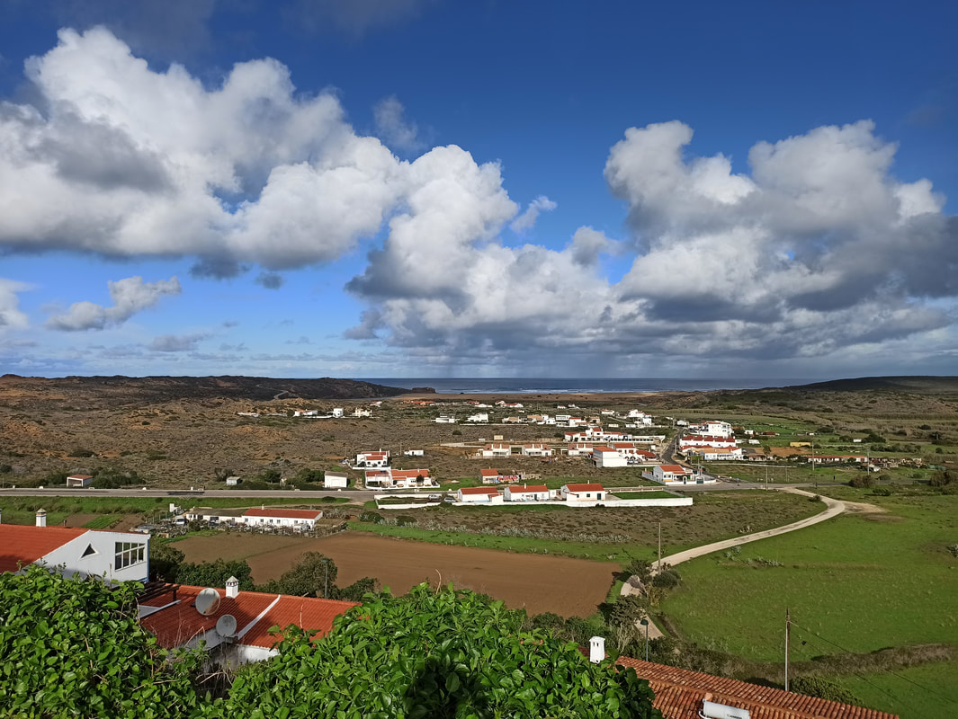
This was not my day, but at least - once again - nature was generous. This trail just never disappoints, view-wise at least. Also the village of Pedralva is a stunner, which didn’t go unnoticed by communities of young, trendy adults en masse building their hipster sustainable houses surrounded by organic bio-orchards.
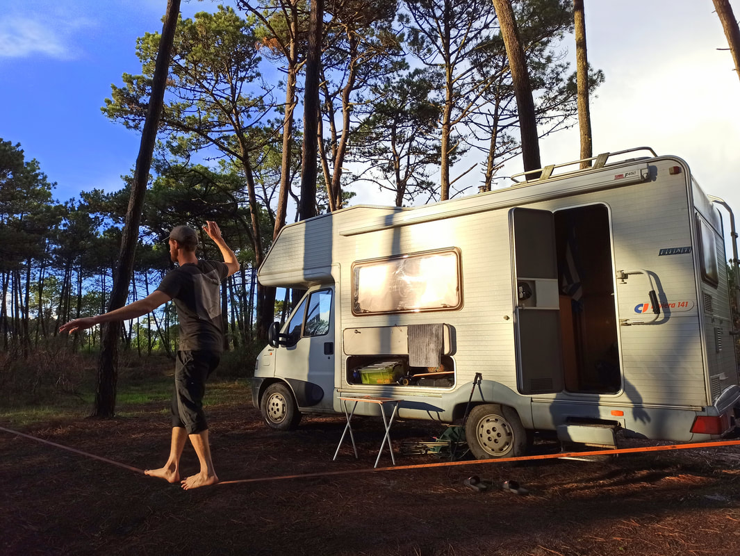
I still had no plan on where to spend the night. I usually just roll with it… und luckily, I tend to roll the right way. This time I was in touch with (couch)surfer Will, who just bought a family-size campervan to flee the cold UK winter. He had parked the thing somewhere along the trail, and invited me over for a cup of coffee. Coffee is a reason for everything, more so to break the day and air the feet, whilst having a pleasant conversation. And so it went, arriving early afternoon. I had no intention to spend the night, but once the sky broke open a decision was made. Truth told, there’s not much against a friendly lad cooking your dinner, sharing fantastic Portuguese wine and teaching you new card games. A fantastic evening after a demanding day.
Day 6 tips:
Day 6 tips:
- If following the Historical Way, Pedralva is your point to replenish water and food. You pass a few small settlements in the meantime, where you could knock on some doors for water as well.
- GPS is crucial on this part. And mind the red-yellow parts, as they indicate the route you should NOT follow. From Carrapateira the blue-green signage towards Praia do Amado (Fisherman’s Trail) is hardly visible as well: just get to the beach and follow the boardwalk from there.
7: Vila do Bispo – Cabo de São Vicente
When I crammed my feet in my shoes the next day I almost cried. Why the hell did I bring these shoes, what is wrong with me? To distract myself from the pain in my feet, I tried to focus on my pumping hangover-headache (totally worth it) and the fact that today was only a relatively short stretch towards the end point of this adventurous endeavour: the lighthouse of the Cabo de São Vicente.
An end point that, after you left Vila do Bispo, is to be seen almost the entire day over the flat, tree-less landscapes… seemingly never coming closer. An intriguing, almost surrealistic landscape, but nevertheless slightly monotonous if you compare it with all expressions of nature thrown at me the previous days. The trails have merged into one Rota Vicentina, but at the coast forks into a separate Historical Way and Fisherman’s Trail again. I opted for the latter (1KM shorter) as it seemed to give more dramatic outlooks over the deep, black, almost volcanic-looking cliffs. The bright sun, making a strong comeback, casted my long alien shadow over the suddenly rocky, moon-like landscapes. From the Rota Vicentina with love.
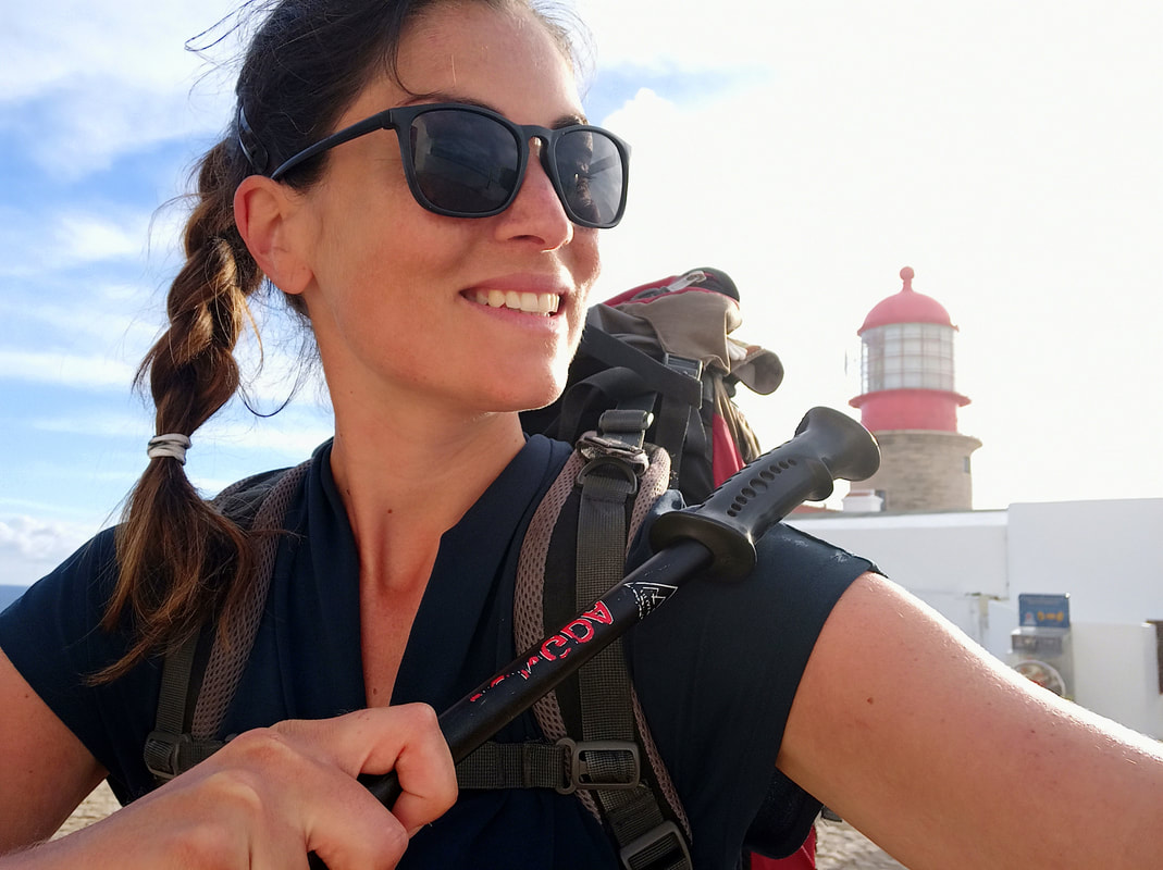
Suddenly it was there: the lighthouse. One like all others, but with a specific symbolism attached to its spirit. I made it. On terrible shoes, with border-line weather in all crazy extremes, on unexpected trails, with old and new friends as well as delightful solitude, and completely unplanned.
About 180km in total in only 7 days. Not bad, you old lil’ vagabond.
I put up my thumb. No, it was 2020, so I put up my mask and then my thumb. Somebody give me a ride back into the madness.
Day 7 tips:
About 180km in total in only 7 days. Not bad, you old lil’ vagabond.
I put up my thumb. No, it was 2020, so I put up my mask and then my thumb. Somebody give me a ride back into the madness.
Day 7 tips:
- Vila do Bispo is your last point for buying water and food until the end of the trail. There is a big Lidl there.
- You can decide to finish the Rota Vicentina in Cabo de São Vicente, and go home from there, like I did. Hitchhiking is easy from here, as people just come here to visit the lighthouse and drive out again (it’s the end of Portugal, so to say). Besides the lighthouse, there is nothing there, not even protection against the wind to properly wild-camp. If you want to spend the night somewhere, you’ll have to continue a few kilometres to the left towards Sagres, where you can also find a bus station to travel out.
- There is a new stretch of the Fisherman’s Trail available into the direction of Lagos, following the southern coast of the Algarve. This would add a couple of days to your adventure.
Day hikes
Right, all nice and well, the Caminho Portugues and the Rota Vicentina, but you’re a busy (wo)man. You travel with schedules and time limits, such things need to be planned. Or more of that blah-blah-blah. Indeed, if you want to thoroughly plan these multi-day hikes, wait until you don’t have to. Planning leaves little room for ‘winging it’, unexpected surprises… and those are the things you end up remembering and recounting for decades to come.
Instead, you can do some day hikes. And there are plenty of them in southern Portugal. The best way is just to put on your hiking shoes (proper ones – unlike me) and see where the wind takes you, but here are some ideas for inspiration nevertheless:
[The below might display in a strange order on the mobile version, but correctly on destkop version]
|
Praia Falesia Coastal Trail
|
Boliquieme - Castelo de Paderne
|
|
Ribeira de Algibre - Vale da Rosa - Vale do Telheiro - Serra
|
Nameless Hike
|
|
Roche da Pena
Vale Formoso - Ribeira de Sao Lourenco
|
Quinta do Lago
Fonte de Benemola
|
In order to support the travelers’ community, I spend many hours per week to adequately document all information and advices for prospective visitors, accompanied by a (hopefully) entertaining insight into my personal observations and experiences. This service is and will remain free. However, if you voluntarily want to make a contribution and support my travels and thus the creation of new stories and information supply, here is the button you’re looking for:
Related:
- Hiking Poland's longest mountain trail (550km) with a tent: Glowny Szlak Beskidzki - check the reports here!
- Walk like a pilgrim! 6 weeks on the Camino Frances towards Santiago de Compostela / Finisterre (900km) - check the reports here!
- Explore Cyprus: Check out the Cyprus Nature, Cyprus Top-5 Cities and the North Cyprus Blogs!
- Europe's best skiing & hiking: Get your ass over to jaw-dropping Switzerland!
- The best hiking destinations of Armenia: Mount Aragats, Dilijan and the southern Legend's (Transcaucasian) Trail
- Check out Budget Bucket List's FAVORITE HIKING DESTINATIONS worldwide!
- Complete hiking guide to Cameron Highlands [Malaysia]
- Borneo's main hiking destination: Kuching - in's & out's
- Getting lost in the freezing wilderness of Chilean Patagonia: Rough times on my 5-day hike in Torres del Paine
- Peru's hiking capital: Huaraz! The best overnight treks & day hikes!
- Tripping on Ayahuasca [Valle Sagrado - Peru]
- Hiking Argentinean Patagonia: The best walks in Bariloche, El Chaltén, Esquel and Ushuaia
- Going off-grid in Bolivia: Multi-day hiking trips in the mountains of Sucre & Sorata
- Hike the national parks of Brazil!
- Boiling hot hiking: Natural endeavours in Paraguay
- 2 months in Boquete: Panama's Hiking Capital!
- Discover New Zealand: The world's best hikes crammed in 1 country!
- The Austrian Alps: Top Ski Resorts
- Climbing Mount Vitosha: Bulgaria's most famous mountain
- Hitchhiking Transylvania: The green heart of Romania
- Why are Koreans the world's most enthusiast hikers? Read more about Korea's national parks!
