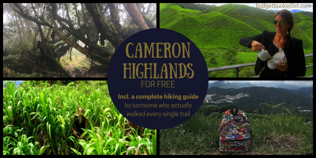
Cameron Highlands
For budget tips & compact place-specific travel info... Download my FREE Budget Fact Sheets. You're welcome.
| Download Steph's CAMERON HIGHLANDS Quick Budget Fact Sheet | |
| File Size: | 326 kb |
| File Type: | |
Travelling is magnificent. The purest state of being. You wish you could do it more often. If only...
If only what? If you only had the time? Newsflash: Every single soul on this planet has the exact same 24 hours in a day, somewhere along the way you just decided to spend it differently. No, not your boss, you: Slavery is quite thankfully added to the dark tales of the past, am I correct? But if you only had the ‘opportunity’? And by that, you mean by some sheer luck the National Geographic Traveller finds you sitting on your couch and decides you are the one they need to travel the world for them and tweet some travel pics along the way? Unless you’re Paris Hilton, to most of us opportunities like that usually don’t randomly blow our way. They’re created by making an effort to reach a certain goal.
No, no, if you only had the cash! The dough! Those crispy Benjamins! That’s the reason why you can’t travel! Fair enough.
But what if I told you that you don’t need a lot of money, that travelling is mostly free if you want it to be?
If you can afford life in general, you can afford a travelling life as well. If you wonder who the hell is talking: Me, a backpacker on the road for over five years now without ever having had the need to enter an office to sweat out some dollars... My secret: You don’t have to earn what you don’t spend. A penny saved is a penny earned.
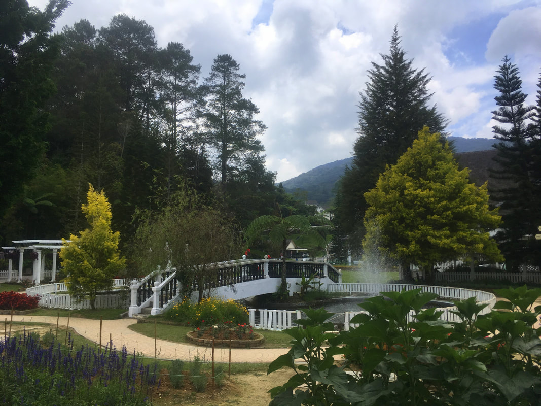
Let’s demonstrate my case with the Cameron Highlands, Malaysia – a place I liked so much I visited it twice (the second time for no less than 3 weeks).
Transportation
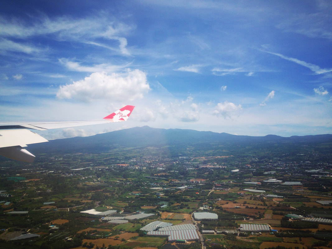
First of all, you need to get there. Maybe you’re abroad, which means you have to buy a flight. Agreed, that’s a cost hard to avoid, but a pain less felt when using tools such as Skyscanner. I found flights for €200 from Mexico to Amsterdam, for €100 from Belgium to New York and for €50 from Malaysia to South Korea... the golden rule to stick with is usually: “If you see a price you’re excited about, book it immediately – don’t wait until tomorrow or even postpone it for an hour, it will most definitely be gone.” Always browse incognito, as those bastards save cookies of your previous searches and will pump up the price when you try the same search again. Plus: Try different VPN’s, as different prices are presented to different nationalities. If you’re already in Asia, budget airlines such as Air Asia or (the crappier) Scoot will offer fares cheaper than a bus ride (very much like Ryanair or Wizz Air in Europe), and are always cheapest when bought directly on their own websites – cut out the middleman!
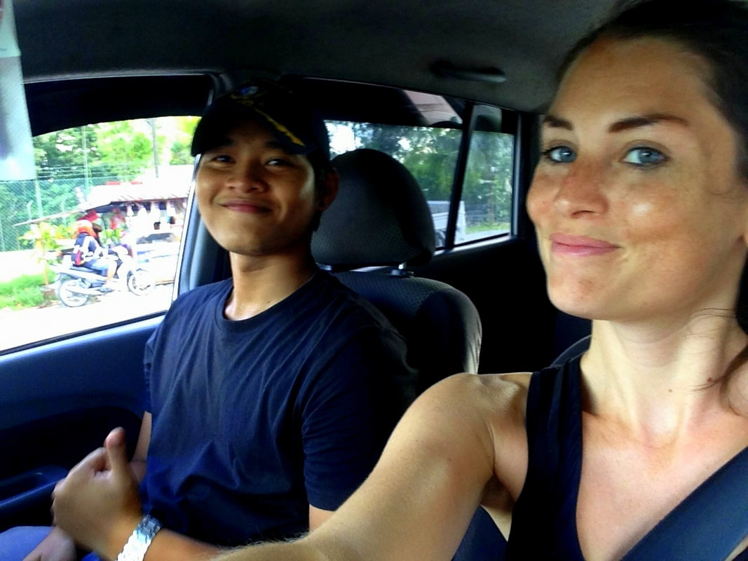
But imagine you are already in Malaysia or not far across the land borders... well, then you won’t have to pay a dime. As a woman that has hitchhiked the planet all alone, I can confirm Malaysia is without doubt one of the safest and easiest countries to try it in. Locals are eager to take you along for a ride and listen to the stories of a foreigner, which they will understand, as Malaysian people are fluent in English. Be warned: You run the risk of getting trapped into eternal friendships!
Once in the Cameron Highlands, your loyal legs will bring you anywhere. In fact, that’s the main attraction of this region.
Alternatives: If your mom’s words still echo through your conscience and you’re having a hard time trusting strangers, bus travel could be an option. If you’re traveling from KL or Penang, double check on the Moovit app how to reach the bus station. Most buses from KL to the Cameron Highlands leave from the Bandar Tasak Selatan (BTS) station, which can be reached by train (this train goes only once in about 2 hours!) or Grab (the local version of Uber). At this bus station there’s a centralized ticket desk for all different bus companies, so you can simply ask for the next available bus to Tanah Rata, where the Cameron Highlands bus station is located. You can buy tickets online as well, but it’s an extra stress factor with Malaysia’s traffic situation, as it’s possible you get stuck in endless traffic jams and miss your bus. For them fancy minibuses you have to dig a tad deeper into that wallet, which is why it’s better avoided. Families or travelling groups (4-5) can be even cheaper off with a rental car compared to buying separate bus tickets. I found the cheapest deals on this website. For those with car sickness (me!): get some pills, as the swirling road definitely had me swallowing sour for 2 hours.
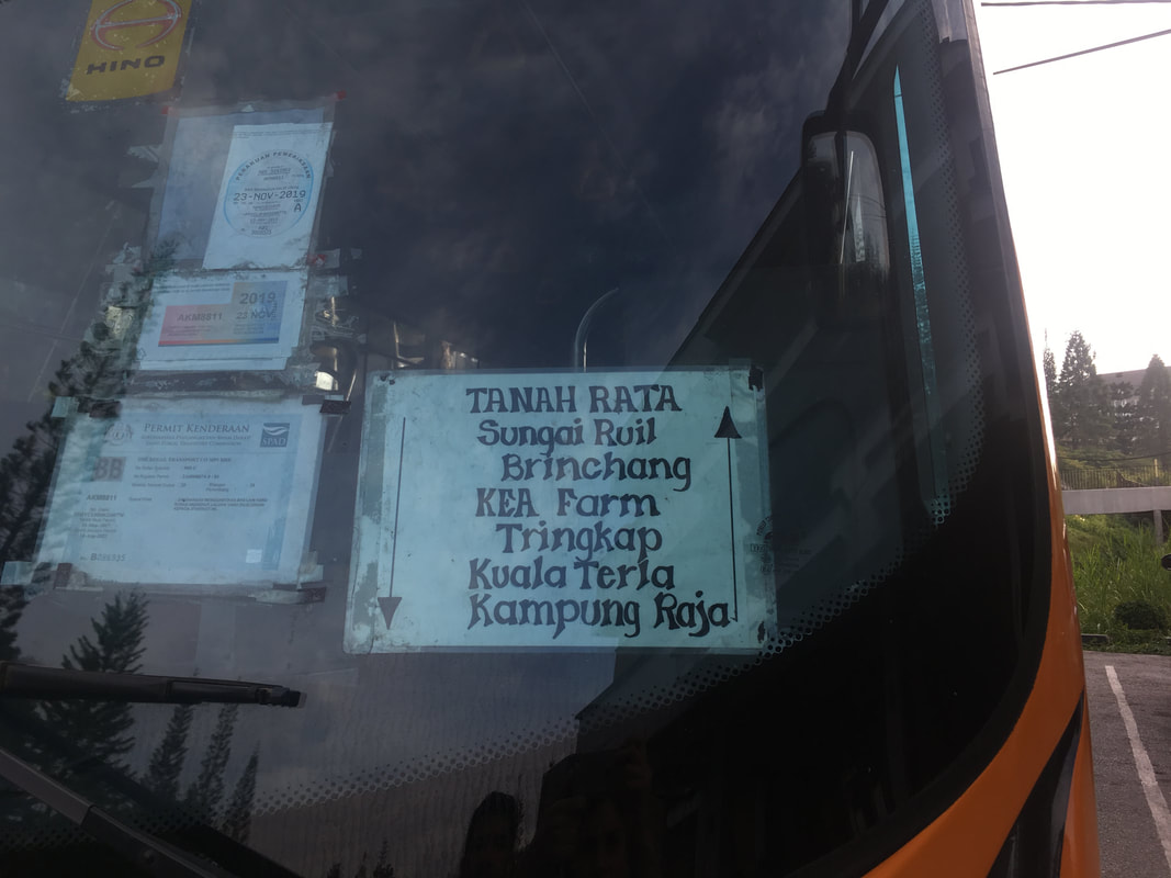
In the Cameron Highlands it’s cheapest transport-wise to stay in Tanah Rata, so you can kind-of-easily make use of the yellow local buses (see photo). Departure times vary, it’s best to verify on the day itself, but generally they operate between 8:30AM-4:30PM and leave every 2 hours. You pay per distance, and prices are ridiculously low. There is no Uber or Grab here, only a taxi stand at the Tanah Rata bus station… a rate has to be negotiated in advance for single rides, or you will 100% be ripped off. Two-hourly taxi service has a fixed rate determined by the government (I’m afraid to mention exact prices here due to inflation, so check the current rate displayed on the sign at the Tanah Rata bus terminal).
In the Cameron Highlands it’s cheapest transport-wise to stay in Tanah Rata, so you can kind-of-easily make use of the yellow local buses (see photo). Departure times vary, it’s best to verify on the day itself, but generally they operate between 8:30AM-4:30PM and leave every 2 hours. You pay per distance, and prices are ridiculously low. There is no Uber or Grab here, only a taxi stand at the Tanah Rata bus station… a rate has to be negotiated in advance for single rides, or you will 100% be ripped off. Two-hourly taxi service has a fixed rate determined by the government (I’m afraid to mention exact prices here due to inflation, so check the current rate displayed on the sign at the Tanah Rata bus terminal).
Accommodation
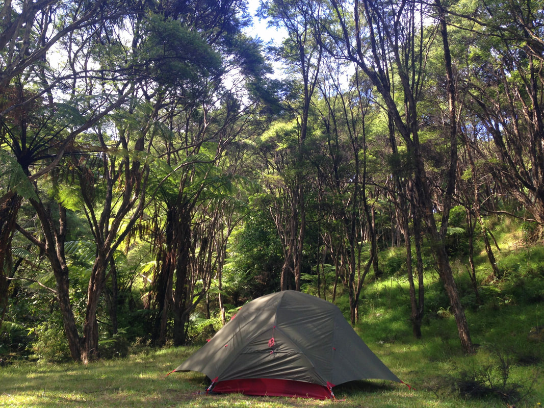
Yes, we’re young and wild and free… kind of... so why not pitch your tent for free at the public camping spaces in Sungai Pauh, Kuala Woh and even at the peak of Gunung Berembun?
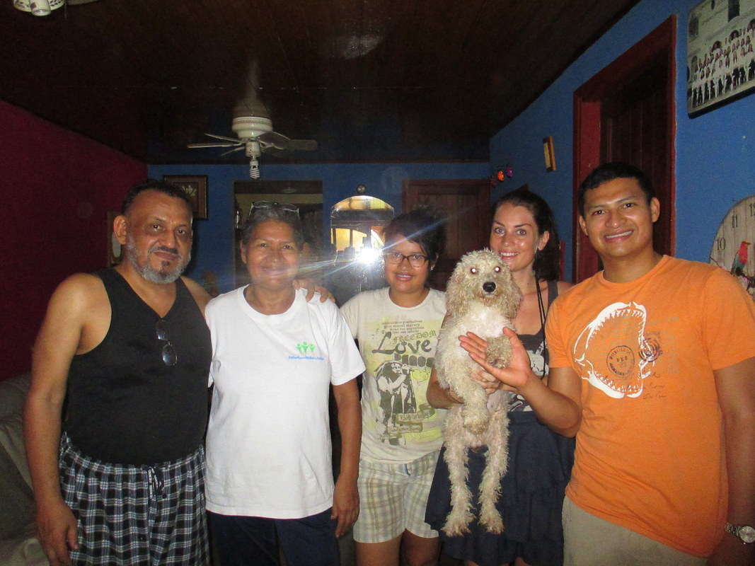
If you prefer a roof over a tarp, have a look at that awesome thing called Couchsurfing. Locals do welcome strangers into their house and offer them a free space to shower, cook and sleep (anything from a spot on the floor to a private bungalow)... Yes, the world is that kind. Your mom was wrong.
I’ve been active within this network for nearly a decade now, and not once was I robbed, betrayed or assaulted. True, there are some men confusing Couchsurfing with Tinder, but they’re easily filtered out. Last time I checked there were 61 hosts in Cameron Highlands, so go get them tiger! Also regularly have a peek at Housesitting-websites, full of people offering to leave their house and pets in your care during their absence in exchange for free accommodation (I did this sooo many times, and believe me, only rich people with stunning houses take housesitters - check fact sheet for a subscription discount link). Or try WorkAway, if you’re happy to work in exchange for a roof and a full plate.
Alternatives: If you really can’t suppress the urge to splurge on some shelter, I have some discount links for you to limit the damage. This link gives you 15 euros / 72 ringgit off Booking.com, and this one 25 euros / 120 ringgit off your first Air BnB stay. Also, not booking anything in advance and simply call the phone numbers or knock on the door of the many ‘rent’-signs on houses you’ll see in these villages can give you some spectacular rates. The second time I visited the Cameron Highlands I found a 3-bedroom / 2-bathroom / 2 balconies apartment for 18 bucks a night (the price of a crappy hostel room here), selling on Air BnB for over 80… simply by knocking on the door and negotiating face-to-face.
You’re welcome.
Important: I do recommend staying in Tanah Rata, not in Brinchang/Golden Hills. Neither one is super pretty, they both merely serve as a base to go out hiking… but Brinchang is really depressing. Plus, the bus terminal is in Tanah Rata, which seriously simplifies traveling.
Trusted Housesitters has very often listings in Malaysia!
|
|
|
Left: Previous housesits I did. Right: The 3-bedroom house I rented for 18 bucks a night – not kidding.
Food
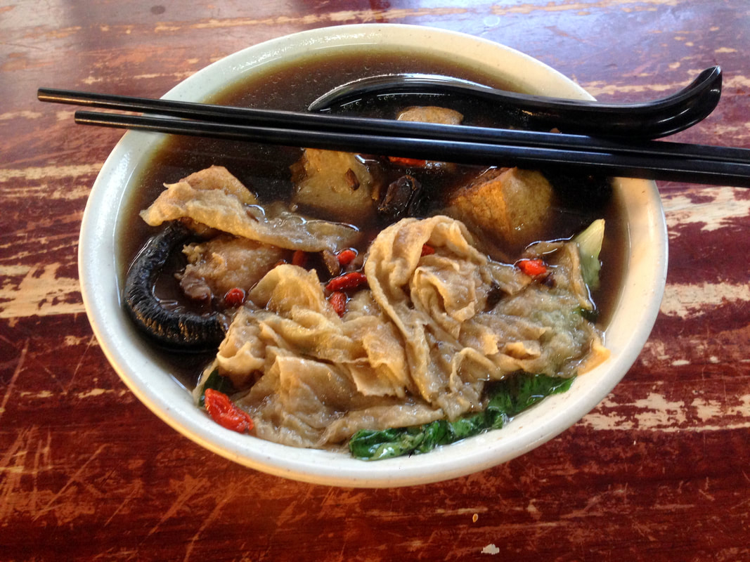
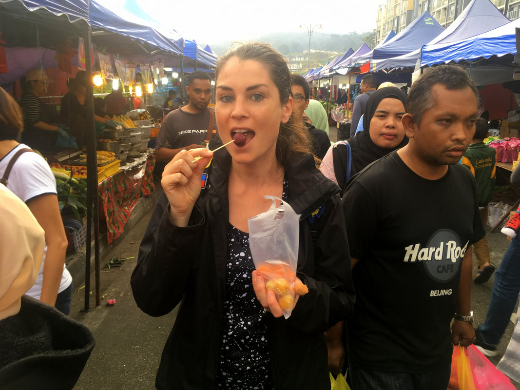
A (wo)man’s gotta eat. But isn’t that always the case? Indeed, you will have to spend some funds on those hearty meals, but you have to do so as well when you’re not travelling. The trick is to not spend more than you would do on a normal day ‘at home’... or preferably: less. I’m a big sucker for markets, that are besides cheap ‘n healthy food Walhalla’s also a sublime manifestation of local culture. Cameron Highlands has several: the Kea Farm Open Air Market, the weekend market in Golden Hills, and also Tanah Rata has a weekend market on the central parking lot at the entrance of town.
In case you don’t have a kitchen available, stick to local dishes to keep a lid on the food expenses. Generally, if a menu is written in English, also tourist prices apply. When it comes to food, you won’t regret going local, as the Malay cuisine is absolutely knee-weakening delicious.
Check my blogs about the food scenes of Melaka and Penang for food suggestions. For details on markets and local food, check the Free Budget Fact Sheet at the beginning of this article.
(Free) Activities
Travelling is by all means a time investment. You not just go all the way to a place on the other side of the world and then watch others have all the fun as you’re officially declared bankrupt. Well, luckily, in the Cameron Highlands the best things are free:
You can’t say you’ve been to the Cameron Highlands without having tightened up those boots for a rigorous hike. And the good news is: The climate is nice and cool here due to the high elevation, unlike the sweat-fests in the rest of the country. The main trails are numbered from 1 to 14 and can be easily combined into a full day challenge. Work hard and thou shalt be rewarded!
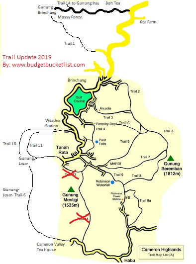
And to help you a bit on the way, I walked all the trails of the Cameron Highlands. Every. Single. One. And I timed it, updated it and made a shit-ton of notes!
[What might not be entirely clear on this map still: The little stretch of trail in between Tanah Rata center and Gunung Jasar belongs to Trail 10 as well, not to Trail 11 (as that one lies in between Gunung Jasar and the Weather Station]
A Complete Hiking Guide to the Cameron Highlands
I realized there’s quite some false information out there! I guess many travelbloggers just copy-paste each other’s information without actually walking the trails themselves… The biggest discrepancy I saw in trail times. I usually walked it 4 times faster than suggested on the tourist maps or trail signs, and wished I knew this before so I could combine more trails in one day… True, I am a passionate hiker, but I’m not superwoman. The trail times suggested might be accurate if you’re either 60+ or born less than 5 years ago, or are severely impaired. They don’t apply to most people with at least a reasonable level of fitness. The trail times mentioned here are timed with a stopwatch.
Trail 1
Trail info: Everyone told me that this trail had been closed off, and that it’s now inaccessible. True, they did close it off at the top, and you could turn around and simply do the same hike both up and down… or you can do a bit of trespassing and rule-breaking, which I always thoroughly enjoy. I even brought a towel to climb the barbed wire more easily and comfortably: A well-prepared rebel!
Beginning & end: The trail starts at the top of the Brinchang village, as you can find on the offline map of Maps.me. From the principal road take a left, then take a right on the Y-section. Opposed to what blogs and TripAdvisor reviews state, you do not need to enter the water facility. You can walk up the hill side on the right just before the water facility (as you can see on Maps.me) and then simply follow the pipeline until the trail becomes obvious. If you see some kind of tree hut, you're on the right trail. From there it slightly deviates from the Maps.me route, but you can follow the ribbons. It ends at the mountain top of Gunung Brinchang where you have to walk past a fence and later on climb a gate just before the Mossy Forest entrance, so you need to be a bit cautious and sneaky. If you get caught, just play stupid-tourist-who-doesn’t-speak-English. The Mossy Forest is an overpriced tourist trap and is only interesting if you want to continue to Mount Irau (the second Trail 14 - you ‘officially’ need a permit and guide for this one). You can simply walk or hitchhike back down the (long!) road to Kea Farm, passing the stunning Boh tea fields.
Experience / Level of difficulty: This is a trail how it’s meant to be. Beautiful, ‘jungle-ey’ and adventurous, with plenty of views. You’ll notice chunks of the trail has disappeared due to landslides, but new trails have formed to circle around it (easy and obvious to find – not dangerous). I saw many monkeys along the hike and lots of other wildlife! The trail goes up in a mellow fashion, except of the last part which is pretty damn hardcore. Hiking poles are recommended.
Time: 1:40hrs – going up.
|
|
|
Left: How to find the trail? The Y-section where you should take a right, the ‘tree hut’ you see at the beginning of the trail, as well as the ribbons to indicate direction. Right: Impressions of Trail 1.
Trail 2
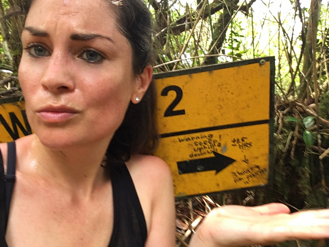
Trail info: This is one of the very well indicated jungle trails on the slope of Gunung Berembun, connecting with Trail 3. Suggested combination: 2-3-7 or 2-3-8 (or the other way around) over the Berembun peak. Accurately available on the Maps.me app.
Beginning & end: Get the public yellow bus from Tanah Rata to Brinchang (or the other way around), but get off earlier at the hindu Swamy Temple (see photo on the left), then walk to the Sam Poh Temple, which is worth a quick look. You’ll see written on the walls where Trail 2 starts, incl. arrows, but you can also find it back on Maps.me. You have to climb some stairs, past the buildings that keep on expanding, swallowing the trail more and more... There are plenty of signs along the way, so you won’t get lost. The trail ends at a jungle intersection where you can take a short bit of Trail 3 back into Brinchang or continue to the peak of Gunung Berembun (recommended).
Experience / Level of difficulty: Short but intense. This is not as long as the signs suggest and wouldn’t take up your entire day, but man, it’s hard. Just how I like it. Lots of hand-and-feet-work and Tarzan-jumps. It’s more fun going up than down, which is also safer when it’s slippery after heavy rainfall. Careful where you put your hands, as I did spot some snakes sliding away from me (they generally only attack when you approach them, touch them or corner them – they’re harmless animals if you simply let them be and give them space). It’s a forest walk without views.
Time: 41 minutes – going up.
Trail 3
Trail info: This trail has two separate sections: From the Brinchang golf course to a trail intersection where you can take Trail 2 (which is a less-than-an-hour-hike-combined)… or you can continue on Trail 3 to the peak of Gunung Berembun, from where you can keep walking on Trail 7 or 8 (that go down into Tanah Rata). If you climbed Gunung Berembun from Tanah Rata, you can decide to walk down to Brinchang via Trail 3 or 3-2. Suggested combination: 3-8-9, 3-7 or 3-2, in either direction. Trails are very well marked and available on the Maps.me app.
Beginning & end: At the Arcadia apartments, which is connected to the back of the Brinchang golf course by an asphalt road. It has an intersection in the middle where you can change to Trail 2, or simply can continue on Trail 3 to Gunung Berembun. The other end of the trail is the peak of Gunung Berembun.
Experience / Level of difficulty: I found this quite a laid-back trail, except of the very last part to the peak which was extremely steep and rough. It’s a full jungle walk entirely in the forest, you’ll only find a view at the top. In the afternoon the clouds come in and you most probably won’t see anything from there either, so leave early!
Time: From Gunung Berembun peak to trail intersection: 46 minutes – same for up & down (I did it twice); From the intersection to Arcadia: 16 minutes – same for up and down.
Trail 4
Trail info: This is the easiest and therefore most family-friendly trail. It’s flat and short and even tiled/paved (!) and will likely be very busy as basically anyone can do this. It passes the Parit Falls.
Beginning & end: It starts at Tanah Rata, just after the bus station on the right side of the park and continues to the Forestry Department south of the Brinchang golf course. Instead, you can also connect to Trail 6 (the Gunung-Berembun-Trail 6; NOT the Gunung-Jasar-Trail-6).
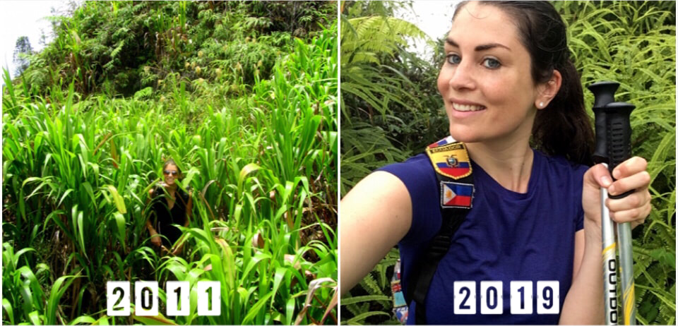
Experience / Level of difficulty: I highly disliked that “trail”, if you can even call it that. I walked it in 2011 and enjoyed it, but anno 2019 the easy accessibility and popularity have resulted in a high level of pollution, which was so delightfully absent on all the other trails.
Time: 20 minutes – round-trip.
Trail 5
Trail info: An easy starting trail that is usually combined with Trail 3, 8 or 7 in order to climb Gunung Berembun. It’s well-marked and available on Maps.me. Suggested routes: 7-5, 9-8-5, 5-3 or 5-3-2, from any direction.
Beginning & end: It starts in Tanah Rata, about 2 km out of town past the bus terminal. Head left when you see a park with fountains (with a ticket booth - but you can walk around it; see left photo below). It’s behind that park, after you climbed a very steep road on the left towards a parking lot. Maps.me helps with finding the trail. It continues to a shelter, where it connects with Trail 3 and Gunung-Berembun-Trail-6 (as there are two Trails 6 at different locations).
Experience / Level of difficulty: It’s more of a connection-trail, it doesn’t lead to something specific except of a shelter where you can relax a little or eat lunch. You won’t do just Trail 5, but rather combine it to go to the peak of Gunung Berembun or loop back to Trail 4 via Trail 6. It’s a forest trail, quite clean and pleasant.
Time: 25 minutes to shelter – going up; from shelter to Gunung Berembun peak: 34 minutes – going up.
Left photo: This is the mentioned park, behind this on the left you'll find the start of Trail 5, on the right Trail 7.
Warning! There are two Trails 6, inconveniently enough. One is a connection-trail in between Trail 5 and 4 on the slopes of Gunung Berembun… one is on the exact other side of Tanah Rata in between the peak of Gunung Jasar (reached by Trail 10) and the Cameron Valley Tea Transplantation south of Tanah Rata.
Gunung-Berembun-Trail-6
Trail info: Connection trail in between the shelter reached by Trail 5, towards Trail 4. It’s a full-on jungle trail, and only interesting if you want to climb Gunung Berembun from Trail 4 or from the Forestry department in Brinchang. Suggested combination: 4-6-7 or 4-6-8-9, from any direction.
Beginning & end: The shelter reached by Trail 5 towards Trail 4 / the Forestry Department.
Experience / Level of difficulty: Intermediate. It’s an up-down-up-down-affair and definitely harder than Trail 3 and 4, but certainly doable. It’s a bush hike, so you won’t have any views on this one.
Time: 30 minutes – going up; to connect with Trail 4 it’s an extra 12 minutes, the last part going down with a rope.
Gunung-Jasar-Trail-6
Trail info: This is the actual Trail 6, which is nevertheless absent on most maps. You can find it on Maps.me though, and I painted it on the map above for clarity. It’s not signposted, getting lost in the first stretch is very easy. Combine it with Trail 10.
Beginning & end: From the peak of Gunung Jasar (reached by a part of Trail 10) towards the Cameron Valley Tea House, south of Tanah Rata. From there you can hitchhike back or grab a cab, as there are no sidewalks and traffic is not too considerate of pedestrians.
Experience / Level of difficulty: This is a fantastic diverse hike, from the beginning until the end spectacular. Together with Trail 10 my favourite in the Cameron Highlands. I did it in 2011 and in 2019 again. I can’t believe it’s absent on most of the maps, I hope that doesn’t mean it’s going to disappear soon, just as other trails in Cameron Highlands did (due to ever-expanding real estate – serving a tourism crowd which they are simultaneously pushing away with these developments, as visitors come specifically for these trails!). I walked it in the pouring rain, making it incredibly slippery: I wouldn’t have survived without my hiking poles. I got lost and walked a part of the trail inside of the river until I found my way again… which you should avoid, needless to say. This route has plenty of views, forest parts, you’ll cross orang asli villages meeting friendly locals, and you’ll hike straight through the rolling tea slopes towards the Cameron Valley Tea House where you can reward yourself with a cuppa. The best of the Cameron Highlands combined!
Time: 1:20hrs – including a faulty detour.
Trail 7
Trail info: One of the routes to the peak of Gunung Berembun. To not walk up and down the same track, you can combine it with Trail 8-9 or 5 back to Tanah Rata or Trail 3 towards Brinchang. Recommended routes: 7-8-9, 7-5, 7-3 or 7-3-2, either way. Find the trail on Maps.me.
Beginning & end: The trail starts 2km outside of Tanah Rata past the bus terminal, very close to where Trail 5 starts as well (just on the other side – see description/photo of Trail 5). Head left when you see a park with a fountain. It’s behind that park, next to the Camelia building.
Experience / Level of difficulty: 80% of this trail is pretty mellow, only containing slight inclines. However, the last stretch towards the Gunung Berembun peak is extremely steep. The lower part of the trail is very overgrown, so wear long hiking pants to prevent your legs from being scratched by the thorns and nettles. It’s a forest walk without any views, except on the top. I experienced this hike as very pleasant and rather easy.
Time: 52 minutes – going down.
Trail 8
Trail info: This is one of the several trails heading up to the Gunung Berembun peak. You have to walk a few minutes on Trail 9 to bend off to the left and start Trail 8. Check the route on Maps.me, as it’s not super clear where it starts. Good combinations: Trail 8-7, 8-3, 8-3-2 or (a long one) 9-9a-9b-8-7. Trail 8 has only signs at the start and end, but is indicated with ribbons along the way.
Beginning & end: It starts at Trail 9, and you have to walk a bit on this trail (the tiled part) before taking a sharp left. Trail 9 starts quite far out of Tanah Rata, about half an hour walk past the bus terminal. You’ll have to eventually take a right and cross a colourful pedestrian bridge and walk past a strawberry farm. Trail 8 ends at the Gunung Berembun peak.
Experience / Level of difficulty: Hardcore. The first few meters set the tone: it’s a hand-and-feet-kinda-practice, steeply heading up, showing no remorse. It flattens out only for short episodes, to make an even harder comeback. I loved this, this is why I hike. But it might not be for everyone… Watch out for the leeches, they are ever-present on this trail: wear long pants and high socks, and don’t sit down on the ground. I saw monkeys here (hurray!).
Time: 1:15hrs – going up.
Trail 9
Trail info: It’s a trail that quite quickly splits up into 9a and 9b, which makes for a nice loop. It can be combined with a visit to the Bharat Tea Estate (which I did), but this at least doubles the hiking time as it’s 5.2km each way from the end of the village (not 3km as some blogs say - I learned that the hard way). I recommend to first walk 9a and return via 9b, as I did it the opposite way and it took me almost half an hour to find Trail 9a from the other side. Learn from my mistakes!
Beginning & end: Trail 9 starts quite far out of Tanah Rata, about half an hour walk past the bus terminal. You’ll have to eventually take a right and cross a colourful pedestrian bridge and walk past a strawberry farm. It splits up where there’s a gate (left is 9A, through the gate 9B). Trail 9a ends in the middle of a field full of workers, but they’re aware of this route and will likely point you in the right direction. 9b ends at the power station, which is an easy landmark to find back if you need to return.
Experience / Level of difficulty: It’s a very beautiful and diverse route, combining forest walks with a sneak-peek into the tea and fruit fields, as well as the Robinson Waterfall. The first 5 minutes are excruciating, as some genius had the bright idea to pave the first stretch of the path with smooth tiles, which are beyond slippery after some rainfall (dangerous!).
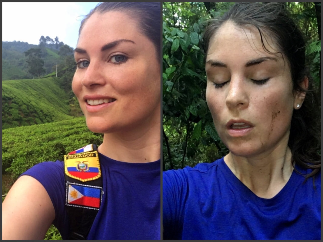
Trail 9a is very pleasant and mellow for the most part… until you reach the last stretch. Most people turn around here, which you can tell by how overgrown this path suddenly becomes, the beaten track kind of disappears. And honestly, this might be a smart idea. I walked it entirely, and man… this trail just smashed me! Massive fallen trees are blocking the way every few meters, which are extremely slippery to climb (you can imagine me sliding down, hands and legs around the tree trunk, like some drunk monkey). Parts of the trail crumbled down by landslides, making it quite dangerous at times. I had to jump over gaps (proper Super Mario), climb up heights higher than myself… I would have fallen down many meters deep if I didn’t reach it. It’s entirely overgrown, long pants and sleeves are required if you don’t want to scratch your entire body (like I did – wherever physically possible there was a cut or scratch). I even almost accidentally hung myself, when I slipped and got my head stuck in a hanging vine… that’d been unfortunate! I’m an experienced hiker, and wow, I struggled so much!
Before and after Trail 9a
Trail 9b is rather short and easy. It’s very steep, but the path is clear and whenever you see the power station you know you reached the end.
Time: 5 minutes until the split with Trail 8; 10 minutes from the beginning to the split into Trail 9a and 9b, 9a (entirely): 50 minutes; 9b: 25 minutes.
Trail 9b is rather short and easy. It’s very steep, but the path is clear and whenever you see the power station you know you reached the end.
Time: 5 minutes until the split with Trail 8; 10 minutes from the beginning to the split into Trail 9a and 9b, 9a (entirely): 50 minutes; 9b: 25 minutes.
Trail 10
Trail info: Trail 10 is the only trail allowing the climb of Gunung Jasar (unless you walk Gunung-Jasar-Trail-6 backwards). It’s probably the most popular trail in the Cameron Highlands, because of the views.
Beginning & end: One end of the trail is just south of Tanah Rata… however, real estate is greatly expanding here, hiding the entrance. In 2011 I entered the trail via a forest, in 2019 I entered it after crossing a massive construction site (closer to the greenery you’ll find arrows and signs indicating the trail) … The other end is at the west side of Brinchang, right behind the weather station. It’s a bit hard to find, but once you approach this facility you’ll notice a beaten track on the right side of the gate, which you can simply follow. Behind the weather station Trail 10 starts when going straight up… if you walk via the left side, you’ll end up on Trail 11. There are ribbons indicating the route, and it can be found back on Maps.me.
Experience / Level of difficulty: This is, together with Trail 6 (with which it’s easily combined), my absolute favourite in the Cameron Highlands. No need to pay for the Mossy Forest tourist trap, as here you’ll find a fine stretch of free mossy forest. I walked it both ways in both sunny weather and mist, and I found that the mist added greatly to the mystique. On top of that, it’s one of the few trails with fantastic views, especially at the peak. Many passengers-by mentioned to me they found it quite intense, but in my opinion, it was one of the easier trails only requiring a basic level of fitness. However, it does indeed get steep at times.
Time: From Tanah Rata to peak: 36 minutes; From weather station to peak: 35 minutes; both measured walking up.
|
|
|
Trail 11
Trail info: This is a power line maintenance track just below Trail 10. It’s more a dirt road than a trail. It can be found back on Maps.me, although it’s not entirely depicted correctly. Maps.me suggest interruptions, while in fact you can walk it all the way from Gunung Jasar to the weather station.
Beginning & end: It starts below the Gunung Jasar peak as a dirt road. It ends at the weather station.
Experience / Level of difficulty: This is a very easy trail, as it’s a wide dirt road and relatively flat, with only one steep incline. However, it honours its name: just a maintenance track… nothing spectacular!
Time: 22 minutes.
Trail 12
Trail info: Not existing anymore, wiped out by real estate projects. About 1 minute of trail is left… such a shame!
Trail info: Not existing anymore, wiped out by real estate projects. About 1 minute of trail is left… such a shame!
Trail 13/14
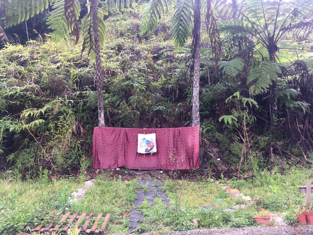
Trail info: The connecting Trails 13 & 14 south of Tanah Rata also turned out to be wiped out by real estate. Internet sources indicated it should start behind the Arcadia Hotel, but after verifying at this hotel's reception it turns out this trail disappeared years ago. I studied all maps rather intensely, and searched for a trail entrance at every end, but besides the spot on the picture below, the trail seemed to have entirely vanished.
Mind this: There are two Trails 6, but there are also two Trails 14! The other Trail 14 starts behind the Mossy Forest and continues to Gunung Irau… but for this one you officially need a guide and permit.
Cameron Highlands Hiking Tips:
- Download Maps.me: It contains most trails and can be used offline.
- Wear long pants: There are leeches, insects and thorns. It’s worth protecting your skin! For the upper body choose a dry fit. It might be colder here than in the rest of the country, but you’re still gonna sweat with that much exercise! Plus, if it rains, you'll dr quicker afterwards.
- Bring a lighter or tobacco: If you have a leech, don’t pull it off, or you get your skin ripped open with parts of the leeche still dangling in your flesh (ehwww). They let go on their own if you put tobacco on them or expose them to fire (carefully so you don’t burn yourself). I personally also bring bug spray, a tick pen, after-bite cream, a pincer and even a small vacuum set to suck poison out (there are snakes here), but that’s me.
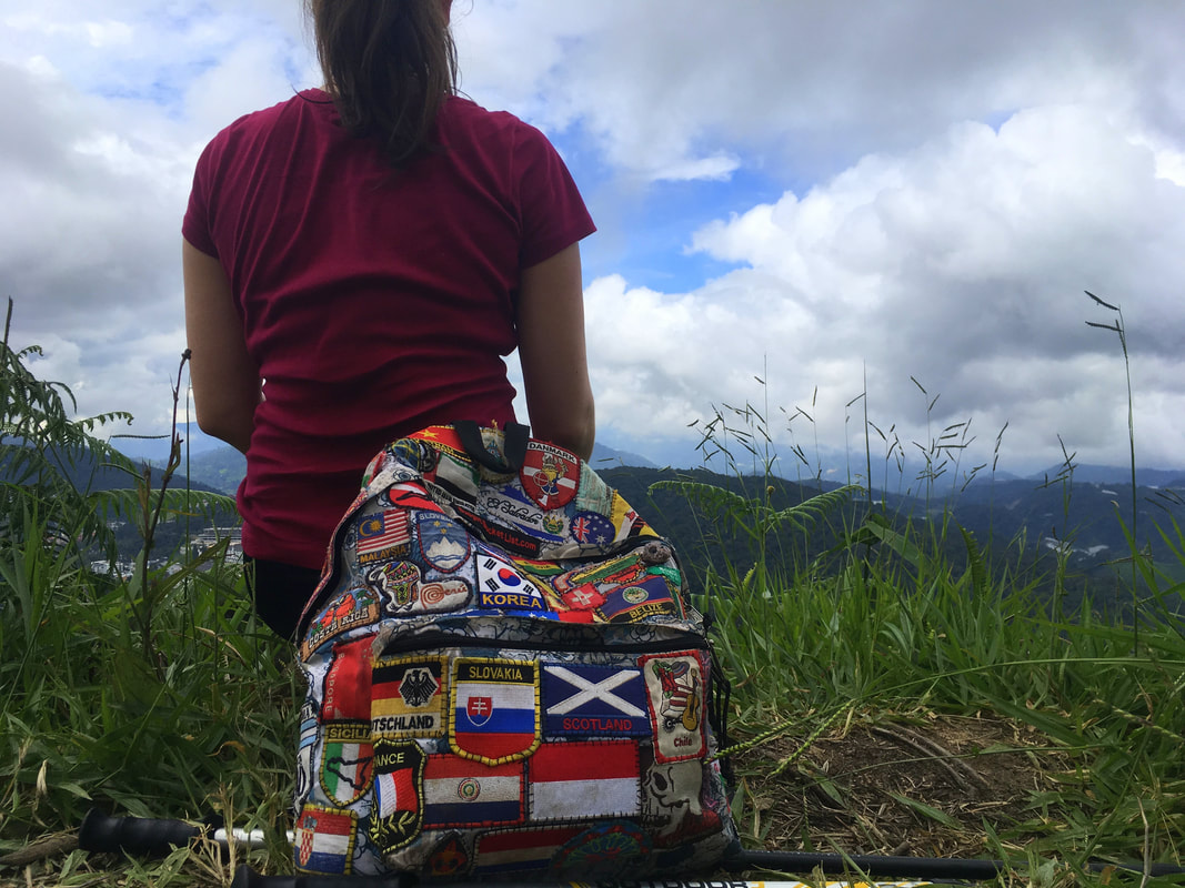
- Bring hiking poles: I didn’t see many people using these here, but it gave me great support and made me walk faster and more stable, especially on slippery terrain after rainfall. Save those knees!
- Bring enough water / a life straw: The mountain water isn’t drinkable here, due to pollution by tourists and the village (plus there are leeches in the water). The local pharmacy didn’t sell purification tablets, so I brought my life straw for emergency situations.
- Bring rain gear: There is a reason it’s this green. And there’s a reason why they call it a tropical RAIN forest.
- Bring a head lamp and spare batteries: In case the hike took a bit longer than you had calculated (which is unlikely here).
- Bring a plastic bag to collect trash: You might not be a polluter, but others sometimes are. This is a great way to make their mistakes undone and preserve nature.
- Avoid weekends: Massive traffic jams go into the Cameron Highlands on the weekends, especially locals coming in from KL… you don’t want to be sharing the trails with aaaaaall those people! But mind this: The tea plantations are closed on Mondays.
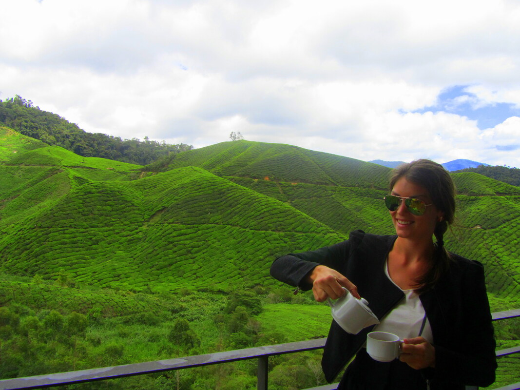
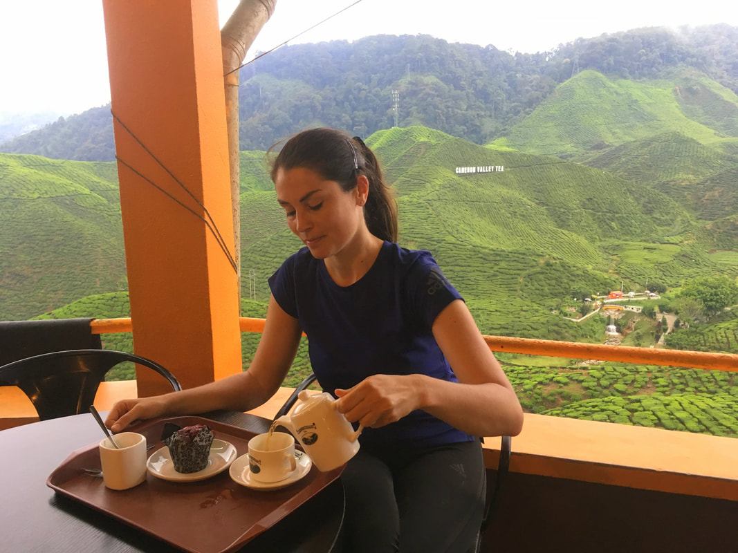
Other activities besides hiking, you say? Cameron Highlands = tea, there’s no way around it. The Bharat Tea Plantation, the Cameron Valley Tea Houses and the Boh Tea Plantation open their doors for free to all visitors. If you want to spend some money on a fragrant cup, that's is all up to you of course.
I couldn’t resist...
If you’re ready to go full-eco, you can go even deeper with some visits to lavender gardens, rose valleys, water crest plantations, cactus gardens or one of the numerous strawberry farms and shops (most of them are located in Kampung Taman Seria, just in between Tanah Rata and Brinchang). Generally, if you don’t buy anything it’s a free outing, only a few charge an admission. [Links can be found in the Free Budget Fact Sheet – scroll up].
* Some travel agencies claim to have tours to see the famous rafflesia flower… but quite frankly it’s very rare here, and these tours hardly ever leave (but please do enquire once you're there - you never know!). You’ll have a better shot in the Bornean side of Malaysia.
Checked it all off? Then zen up with the last freebie on the list: the Sam Poh Temple, which you might have passed on the way to Trail 2.
“Hummmmm, I travelled the Cameron Highlands for free, hummmmm”
You know how I never really return to a country (before I’ve seen them all)? Well... I visited Malaysia five times! Yes, it’s that good. I’ve been all over the place and have some great advice on places to visit (and to avoid). Check out the Malaysia Page and start planning your next trip!
You know how I never really return to a country (before I’ve seen them all)? Well... I visited Malaysia five times! Yes, it’s that good. I’ve been all over the place and have some great advice on places to visit (and to avoid). Check out the Malaysia Page and start planning your next trip!
In order to support the travelers’ community, I spend many hours per week to adequately document all information and advices for prospective visitors, accompanied by a (hopefully) entertaining insight into my personal observations and experiences. This service is and will remain free. However, if you voluntarily want to make a contribution and support my travels and thus the creation of new stories and information supply, here is the button you’re looking for:
Related:
- Check out Budget Bucket List's FAVORITE HIKING DESTINATIONS worldwide!
- Make it a Malaysia roundtrip: Kuala Lumpur, Ipoh, Taman Negara, Penang, Tioman Island, Kuching, Melaka, Miri, and Sabah!
- The deception of northern Borneo: Don't ever go to Kota Kinabalu
- Visiting the tiny sultanate of Brunei
- Comfortable with the uncomfortable? Bohol & Panglao Island, The Philippines
- Visiting the southern neighbours of Malaysia: Singapore!
- Travel Asia off the grid… discover the magic of South Korea!
- A little sneak-peek into North Korea!
- Europe's best skiing & hiking: Get your ass over to jaw-dropping Switzerland!
- Free endless hiking opportunities in Tafi del Valle, Argentina
- Getting lost in Brazil's mountains: Itatiaia National Park
- The greenest island of Chile: Isla de Chiloé
- Peru's hiking capital: Huaraz and the Andes
- The green heart of Costa Rica: Monteverde
- Nicaragua by foot: Matagalpa
- Cool and refreshing: Hiking in Boquete, Panama
- Hidden in the woods of Denmark: Mols Bjerge National Park
- Hiking and Harry Potter: Glencoe, Scotland
- Jordan, a destination on the rise: Extensive guides to Petra, Amman and Wadi Rum
- Hiking Poland's longest mountain trail (550km) with a tent: Glowny Szlak Beskidzki - check the reports here!
- Walk like a pilgrim! 6 weeks on the Camino Frances towards Santiago de Compostela / Finisterre (900km) - check the reports here!
